Hi Paavo:
Many thanks for making this MSFS Toolkit available to the MSFS Community.

Although I have not yet had time to test this in detail in order to become more appropriately familiar with the extent of its current methods / capabilities, I am already particularly curious as to implications of the latter work-flow described above.
A few questions come to mind for me, with regard to what the MSFS Toolkit v0.50 now makes possible, when considering Pasha's inquiry:
Pasha's inquiry above, when considered in light of his reported ongoing work with Kertajati Airport in Indonesia (ICAO WICA):
https://www.fsdeveloper.com/forum/threads/3ds-max-ground-poly-design.447258/post-840993
https://www.fsdeveloper.com/forum/t...hat-follows-msfs-dem-model.451670/post-876022

en.wikipedia.org
...seems to involve not only an effort to more accurately render at run time in MSFS, the IRL ground textures, but also the IRL terrain contour and slope configuration at that airport.
IIUC, Pasha has acquired a 0.27 Arc Second (~10 Meter) DEM that is being considered for use in 3D modeling airport G-Polys, and also for use in creating MSFS-2020 compatible sloped flattens that may be used to
smooth the navigable airport infrastructure object surfaces, while also aesthetically blending their edges into the surrounding terrain "mesh".
And IIUC, Pasha is concerned with eliminating 'some' of the Altitude variations within the navigable airport infrastructure object surfaces, while also retaining their local 'major' "geoid undulations" along the course of the
paved RWYs, Taxiways, Aprons etc., ...but not to the extent where surface variations are so numerous as to cause the surface to be perceived as having a "bumpy" GroundRoll attribute that evokes aircraft gear suspension movement / Fx / sound rendering attributes associated with a non-paved airport surface type.
Friend of mine syas he sees terrible bounce in his landing gear- (2 or 3 ft up and down.). Other airports not. At this airport we are working on we have a flatten but still this occurs. I tried it with a 747 and saw some up and down movement in the front gear only. aircraft itself was...

www.fsdeveloper.com
Whereas in FSX / P3D we are able to change GroundRoll attributes by changing ground surface type with a SCASM SurfaceType hack such as Arno implemented via MCX, or by use of different airport 'paved' surface polygons implemented via ADE that underlie draped imagery or G-Polys, I do not recall seeing a mechanism yet in the current build of the MSFS-2020 SDK, to control the aircraft GroundRoll attributes that trigger commensurate changes in the aircraft aircraft gear suspension movement / Fx / sound rendering attributes.
I thought it might be helpful in better understanding what Pasha initially had to work with, if Patrick Germain's CvxExtractor GUI is used to export a ESRI
*.SHP file from MSFS-2020's Kertajati Airport in Indonesia (ICAO WICA) default CVX vector airport flatten polygon:
[MSFS-2020_Packages install path]\Official\OneStore\fs-base\scenery\0904\
CVX7634.BGL
Once de-compiled, we get this data set (seen here exported as
*.BLN code output from CvxExtractor GUI)
Code:
18,1,AirportBounds_18_0
106.638278961182,-6.29787504673004,36.5777053833008
106.637921333313,-6.29745662212372,36.5777053833008
106.637299060822,-6.29741370677948,36.5777053833008
106.636798381805,-6.29773557186127,36.5777053833008
106.636662483215,-6.29799842834473,36.5777053833008
106.636304855347,-6.29837930202484,36.5777053833008
106.636061668396,-6.29955410957336,36.5777053833008
106.635904312134,-6.30051970481873,36.5777053833008
106.635718345642,-6.30161941051483,36.5777053833008
106.635718345642,-6.30280494689941,36.5777053833008
106.635825634003,-6.30381345748901,36.5777053833008
106.636340618134,-6.30395829677582,36.5777053833008
106.637020111084,-6.30385100841522,36.5777053833008
106.637141704559,-6.30271911621094,36.5777053833008
106.637570858002,-6.30034804344177,36.5777053833008
106.637892723083,-6.29902303218842,36.5777053833008
106.638200283051,-6.29823982715607,36.5777053833008
106.638278961182,-6.29787504673004,36.5777053833008
KEY to record structure: X,Y,Z = Lat,Lon,Alt (Meters AMSL)
Note that this ICAO WICA default CVX vector airport flatten polygon data would render a ~37 Meter (120 Foot)
flat / level surface.
IRL, that RWY is sloped with an end-to-end height differential of at least 10 Feet (source: Google Earth).
AFAIK, edited Altitude values for vertices may allow ICAO WICA's CVX vector Airport Boundary flatten to render as
sloped.
That would assume MSFS-2020 still allows CVX vector Airport Boundary flattens to over-ride other terrain mesh modifiers.
 FYI:
FYI: It is interesting to note that other MSFS-2020 airport CVX BGLs I have de-compiled in this way have instead had Alt values of
-9999.
Additionally, other MSFS-2020 CVX vector Airport Boundary flatten I de-compiled, have instead had Altitude values of
0.
As you may already know,
-9999 or
-32767 are commonly used in GIS and in the FS SDK as "NO_DATA" - 'fall back' null values
Where such a value is used, the rendering of
ex: local terrain Altitude will 'fall back' to another data source and 'inherit' Altitude.
IIUC, in the case of MSFS-2020, this 'fall back' is to Altitude values derived from either the Airport XML or a discrete
*.SHP file.
Is such an Altitude 'fall back' what you are alluding to in your explanation of methodology now available via MSFS Toolkit v0.50 ?

[
EDITED]
"When developing a regional terrain that covers multiple airports (without including them), you may want to cut out holes around airports to avoid conflicts with third party airport packages.
You can use
-exclude option to assign a vector file with polygons that define excluded areas. These areas will retain their original elevation and remain free from any influence."
IIUC, when using MSFS Toolkit v0.50, we "should" (...now must
always ?

) implement either:
* An
Exclude to force existing airport flattens to
NOT be modified
...
or:
* Altitude data to
Replace specified airport flatten vertex values (...AFAIK: user-defined '
Airport Elevation Corrections' aka "
AEC's" ?

)
[
END_EDIT]
Should Pasha, for example, seek to further interpolate his elevation data points, or just implement sloped CVX vector flattens ?
One might wonder, if we were to use "legacy" FSX / P3D methodology to create CVX vector Airport Boundary flattens with either ADE or SBuilderX, and compile them to BGL using FSX or P3D SDK SHP2VEC ...whether these would be compatible with the methodology now implemented via MSFS Toolkit v0.50 and/or MSFS-2020 SDK compilers.

Thanks in advance for your further clarification of what we may achieve using the current build of MSFS Toolkit v0.50.
") PS
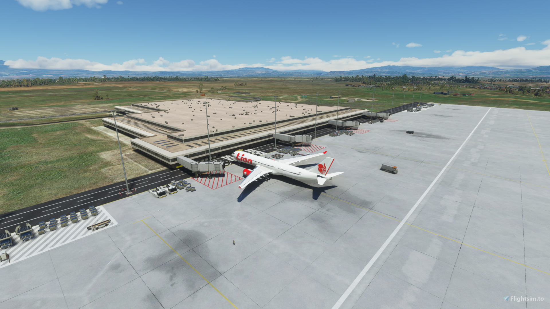
PS: Pasha mentions he is creating custom content for MSFS at ICAO WICA for a "3rd party" airport scenery package.
Perhaps Pasha might tell us whether the ICAO WICA 3rd party airport scenery package he alludes to ...is this one:
")
✓ For Microsoft Flight Simulator: Explore the addition of Kertajati International Airport in West Java, now available in Microsoft Flight Simulator 2020. With ILS frequency runway and accurate details, this airport is a significant addition...

flightsim.to
GaryGB


github.com