- Messages
- 3
- Country
-

You are the KING !
Any other question that is not specific to an aspect of development or tool can be posted in the General chat forum.
By following these guidelines we make sure that the forums remain easy to read for everybody and also that the right people can find your post to answer it.
Thank you very much, of course I'm always happy to hear that!Now, I'm ready to hang myself! I simply can't keep up with this insanely good looking technology and the impressive results you've achieved so far. This is extremely beautiful; Kudos!!!


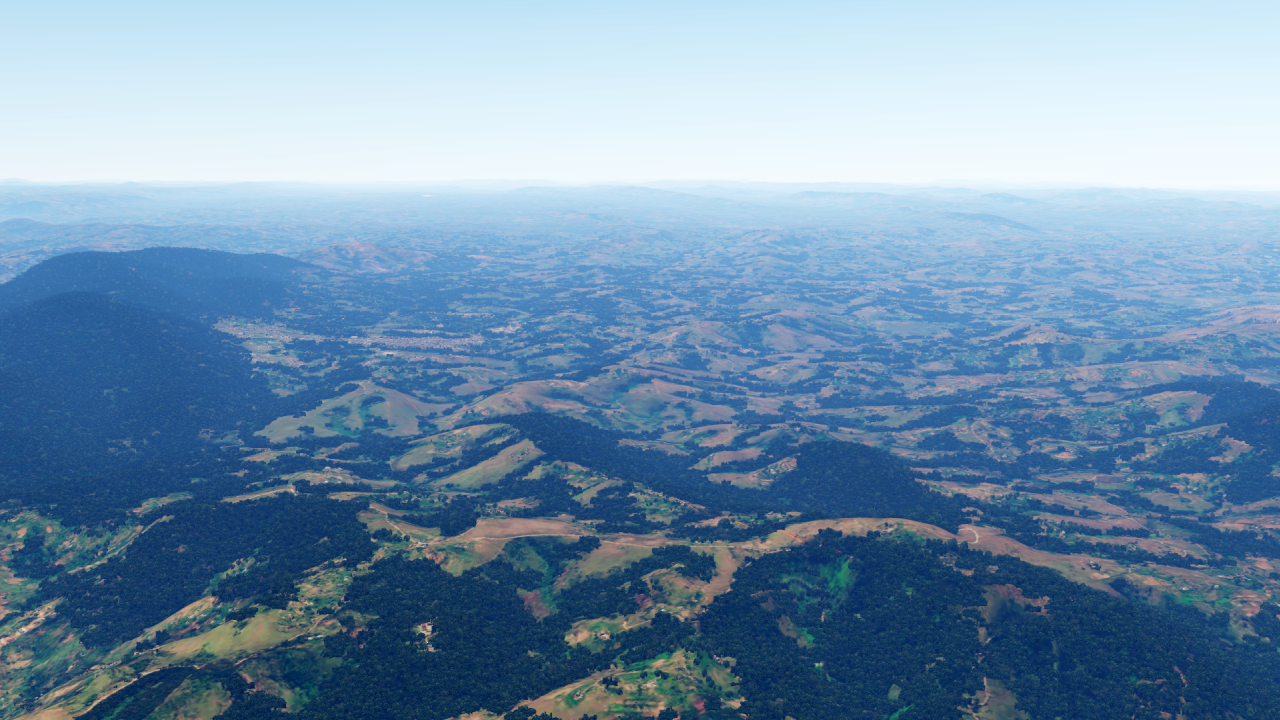
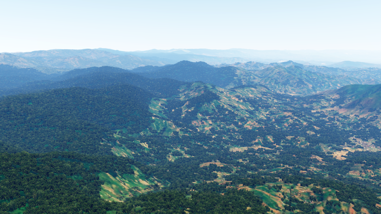
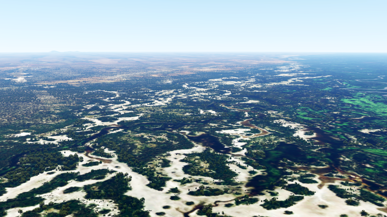
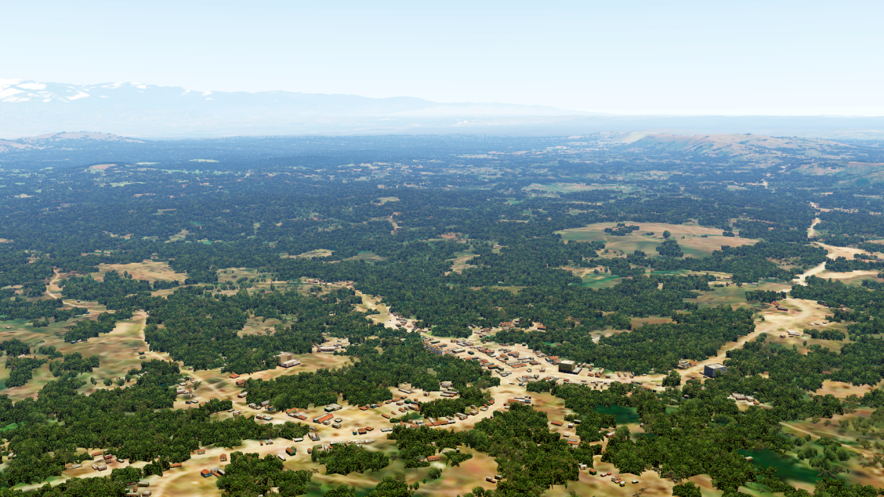
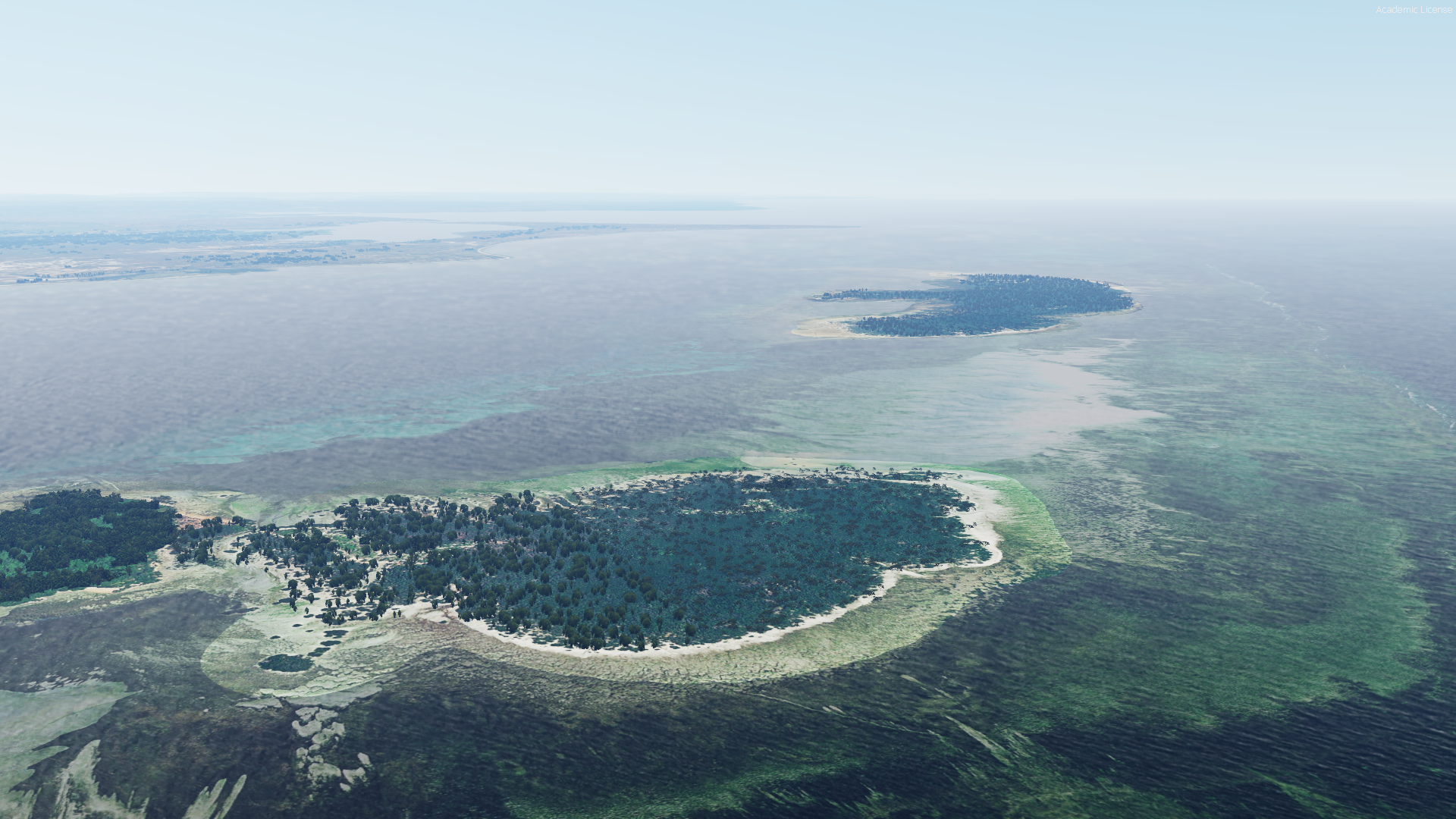
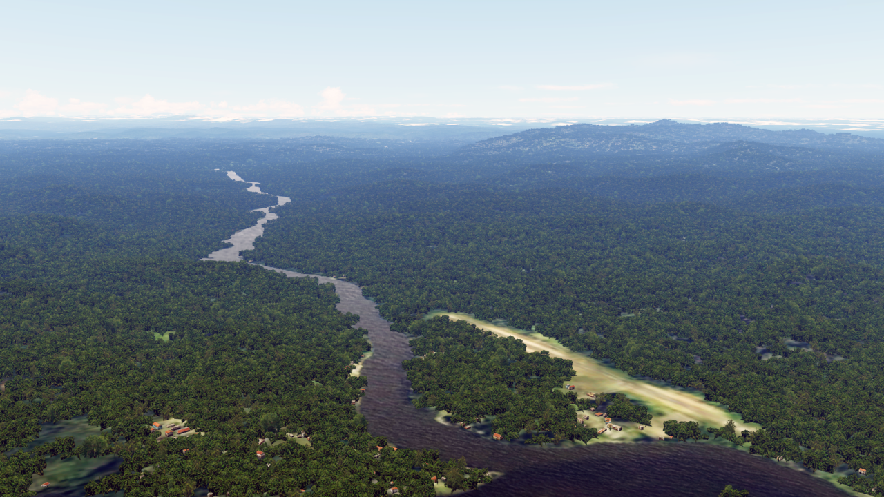
Why it has to be French GuianaSome may ask, what about Ecuador and French Guyana?
 (yes I would have asked French Guiana haha, but I am on MSFS now anyway) but even on MSFS its not that great.... that makes me sad....
Operation successful, everything back on track!For info:
The fsxforum will not be available for the next few days due to maintenance work.
Until then, I will not be able to answer any messages, as all links are stored there.
As soon as everything is up and running again, I'll let you know!
Well... Good question. But that's just the way it is...Why it has to be French Guiana
no, I can't accept thatWell... Good question. But that's just the way it is...

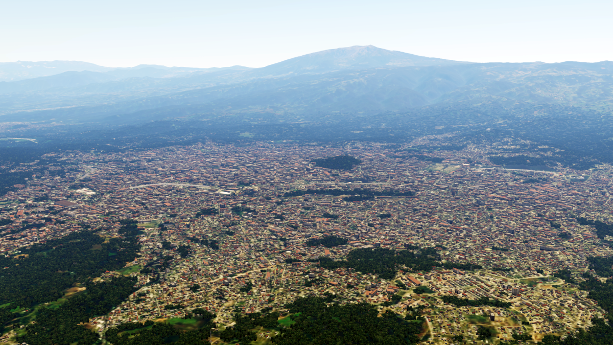
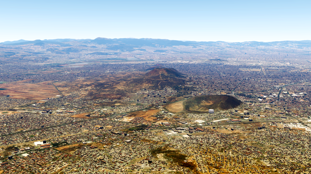
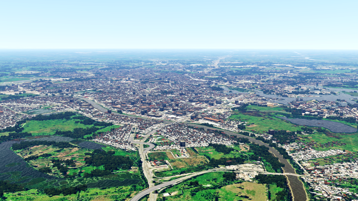
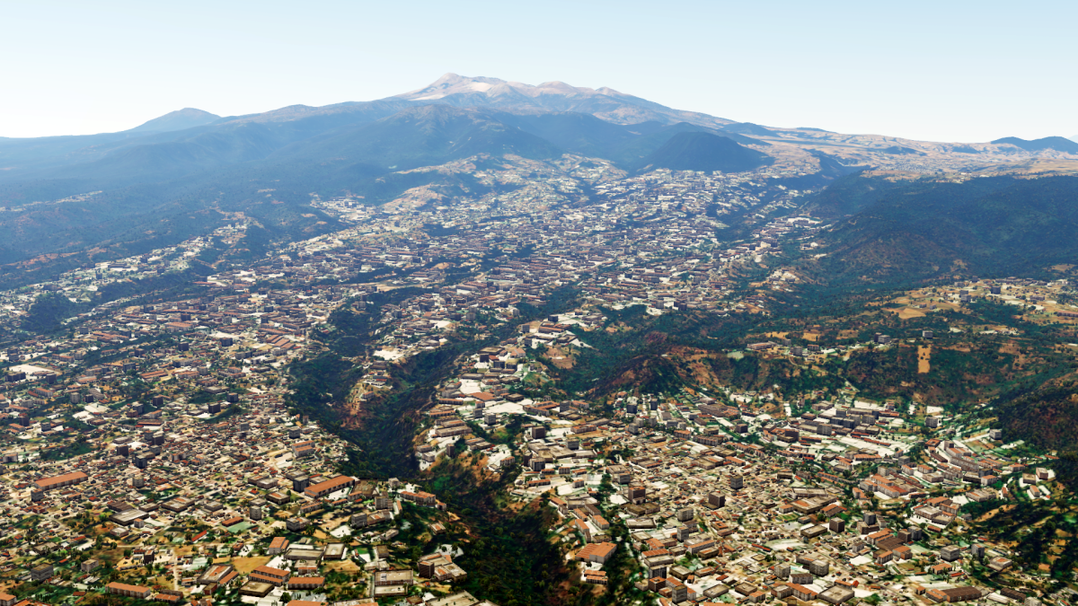
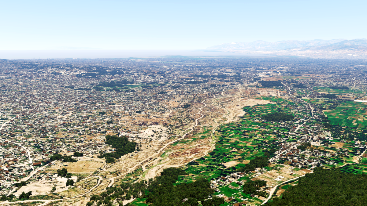
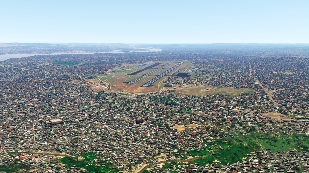
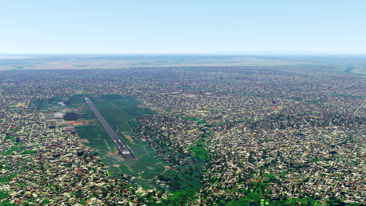
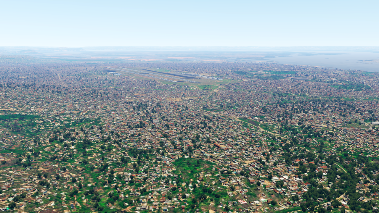
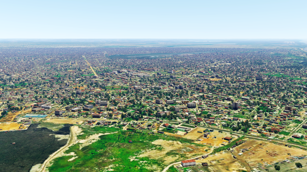
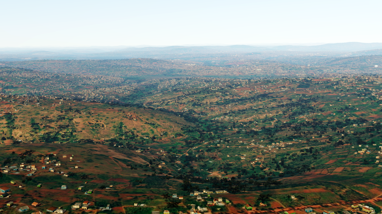
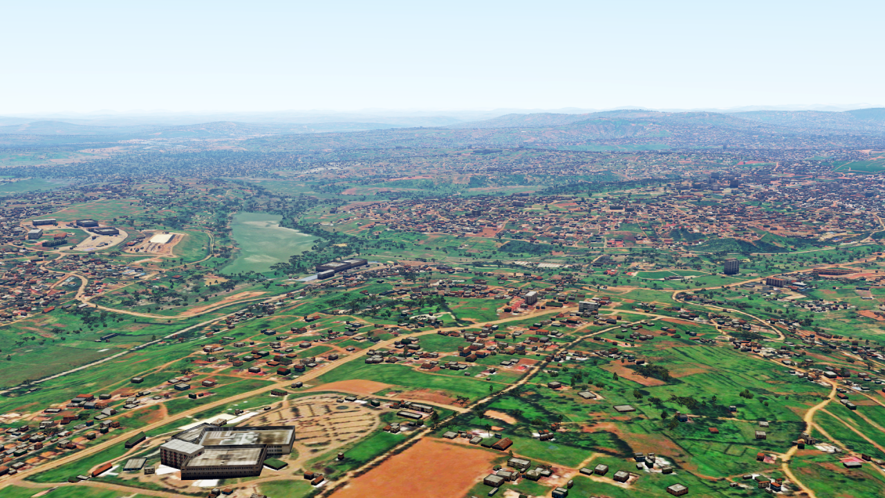
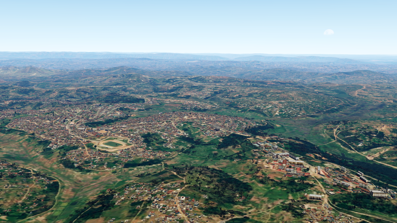
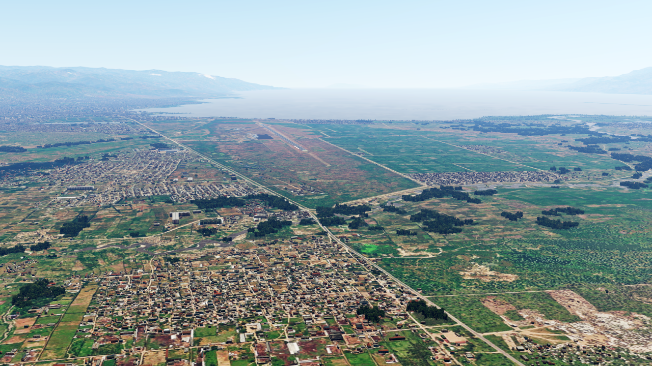
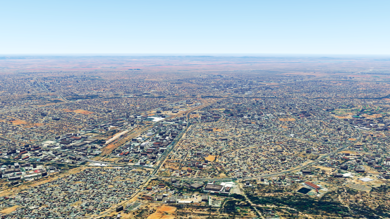
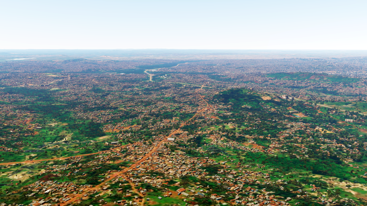
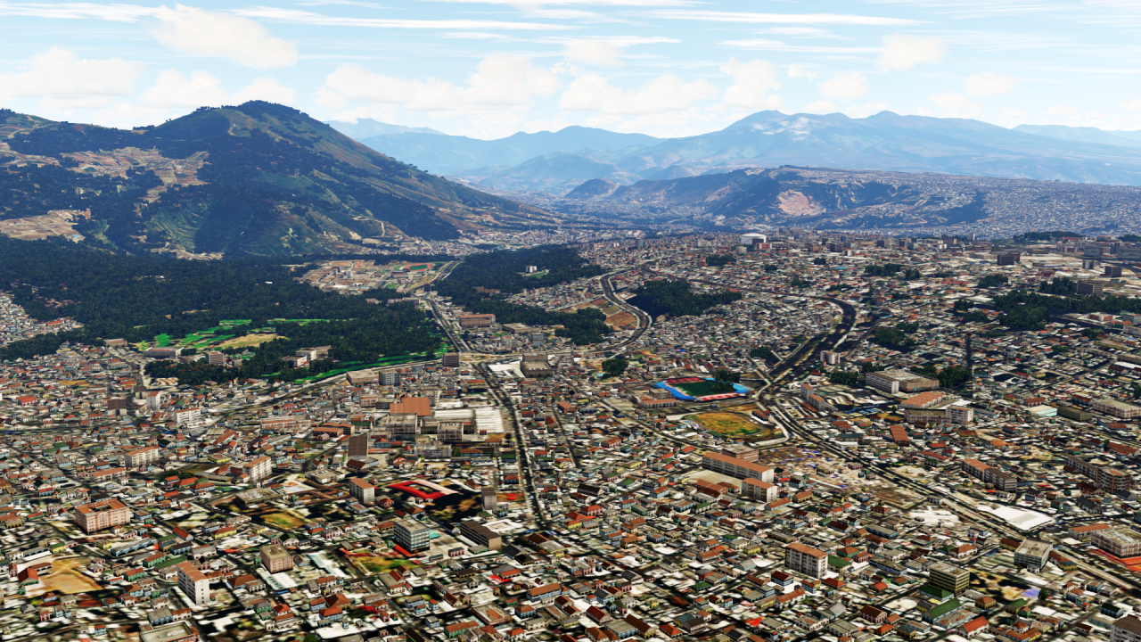
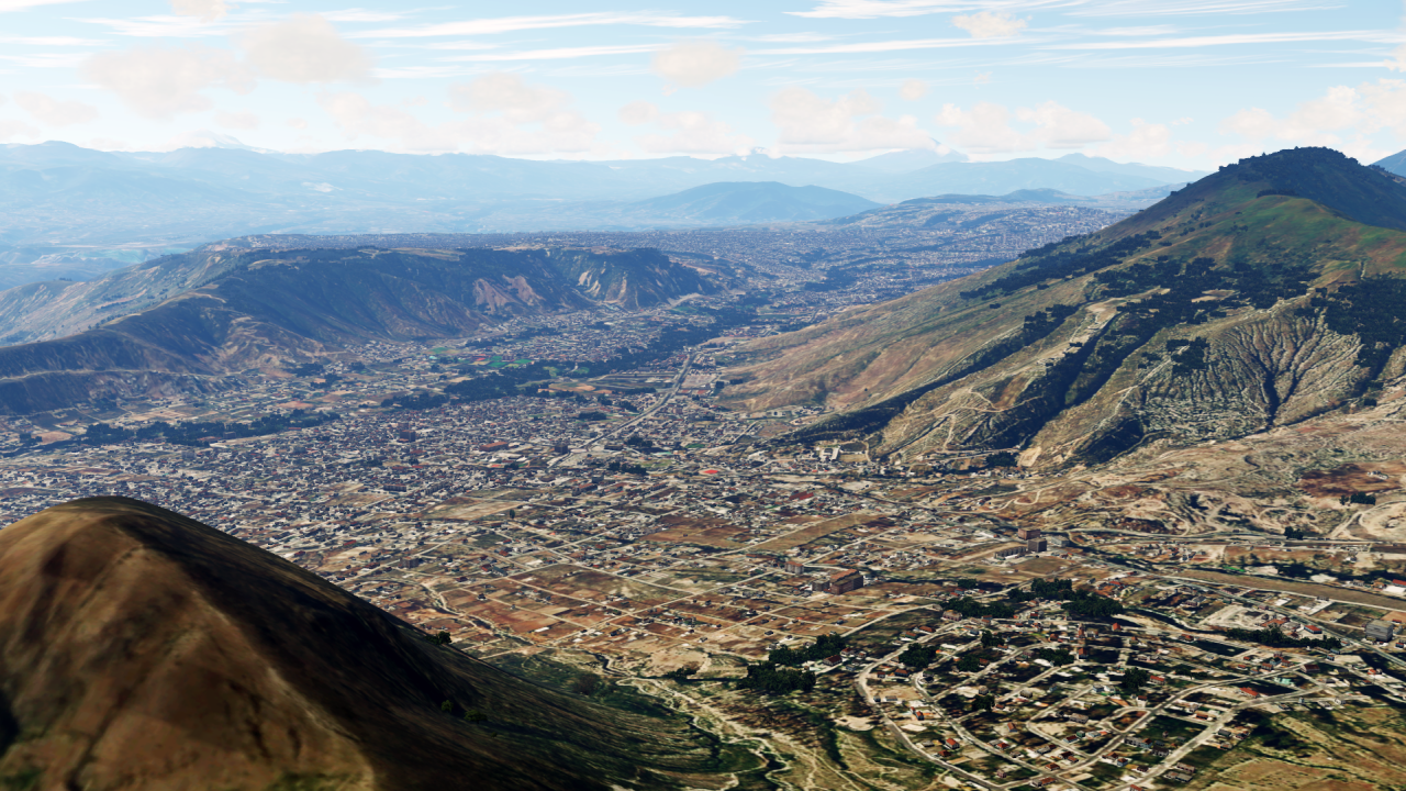
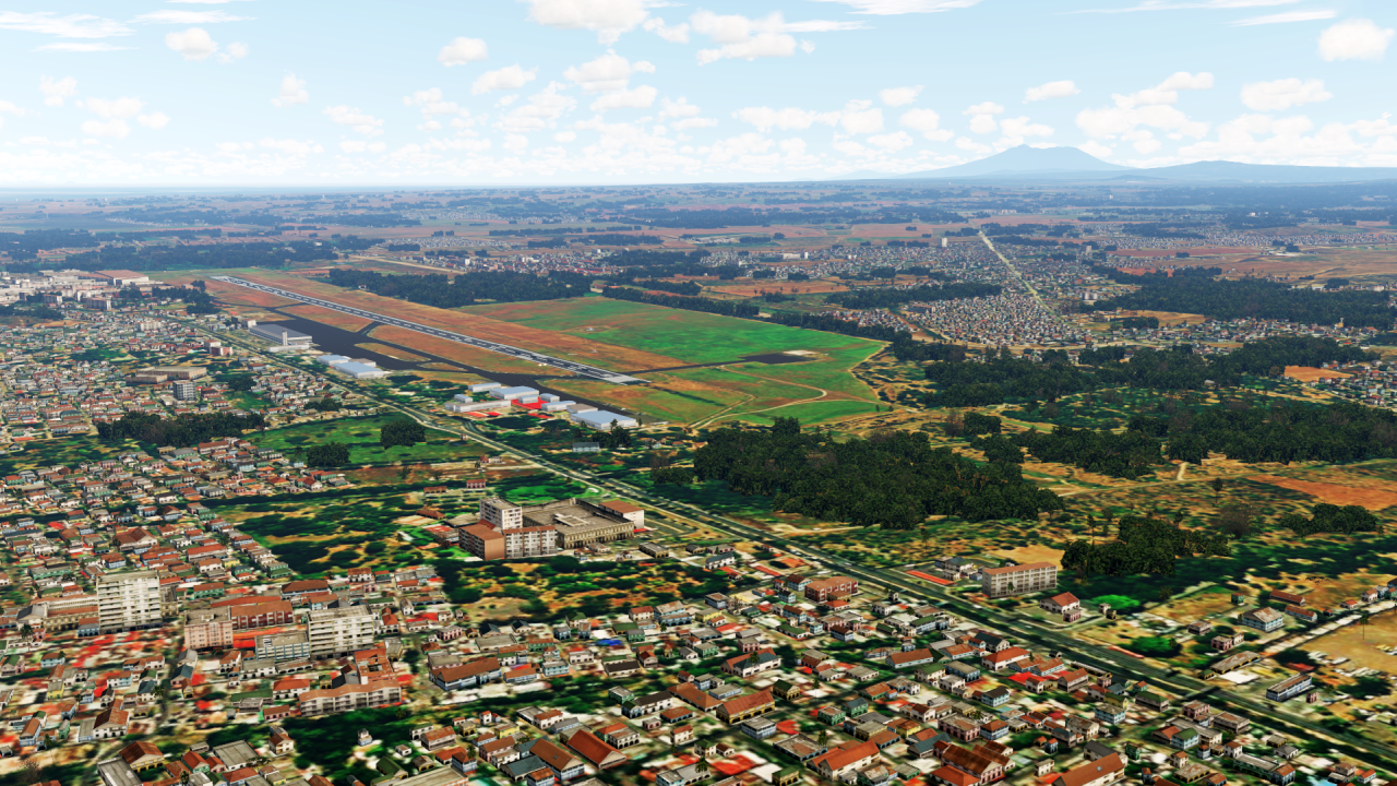
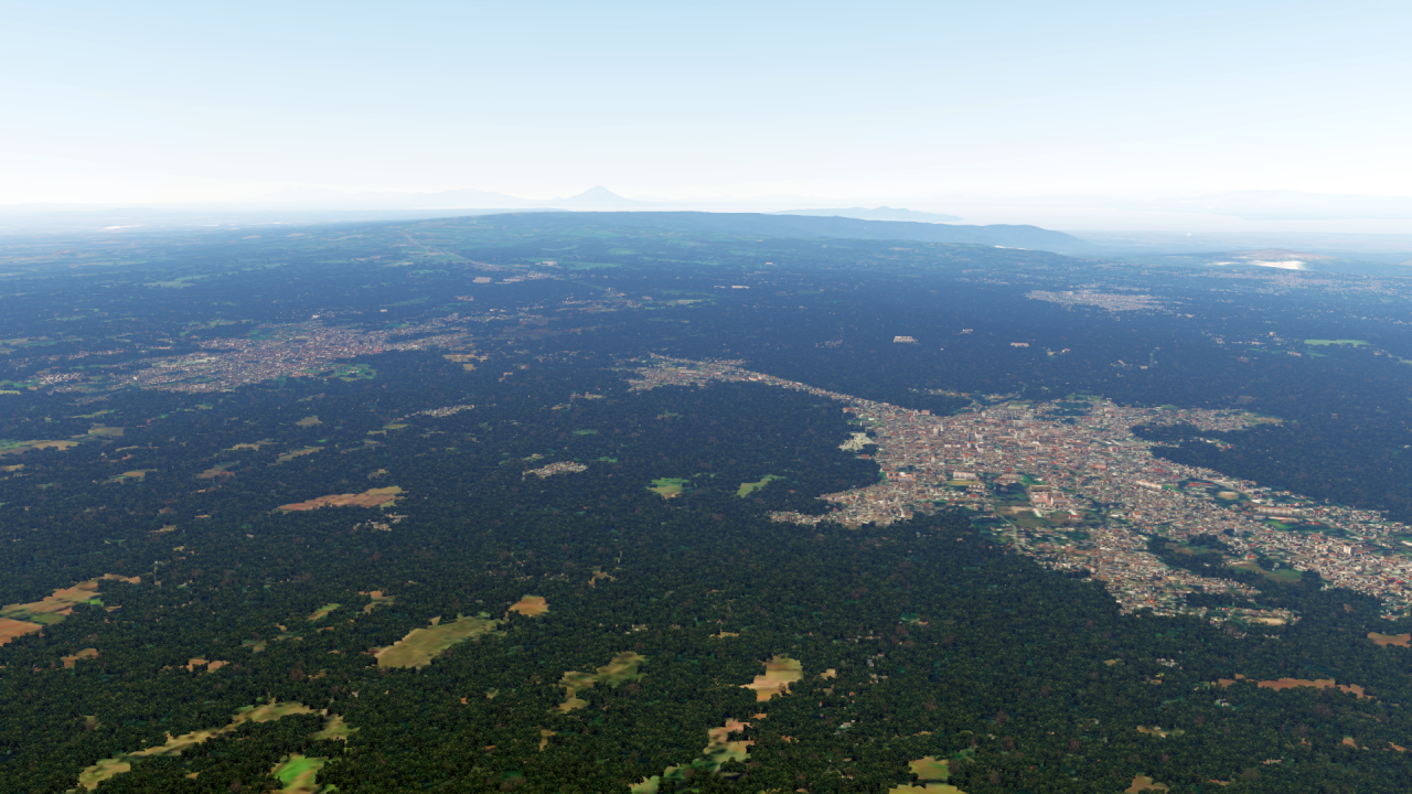
outstanding work here and other countries, i have send you matthias a pm regarding sceneries, keep up the good workHello dear all!
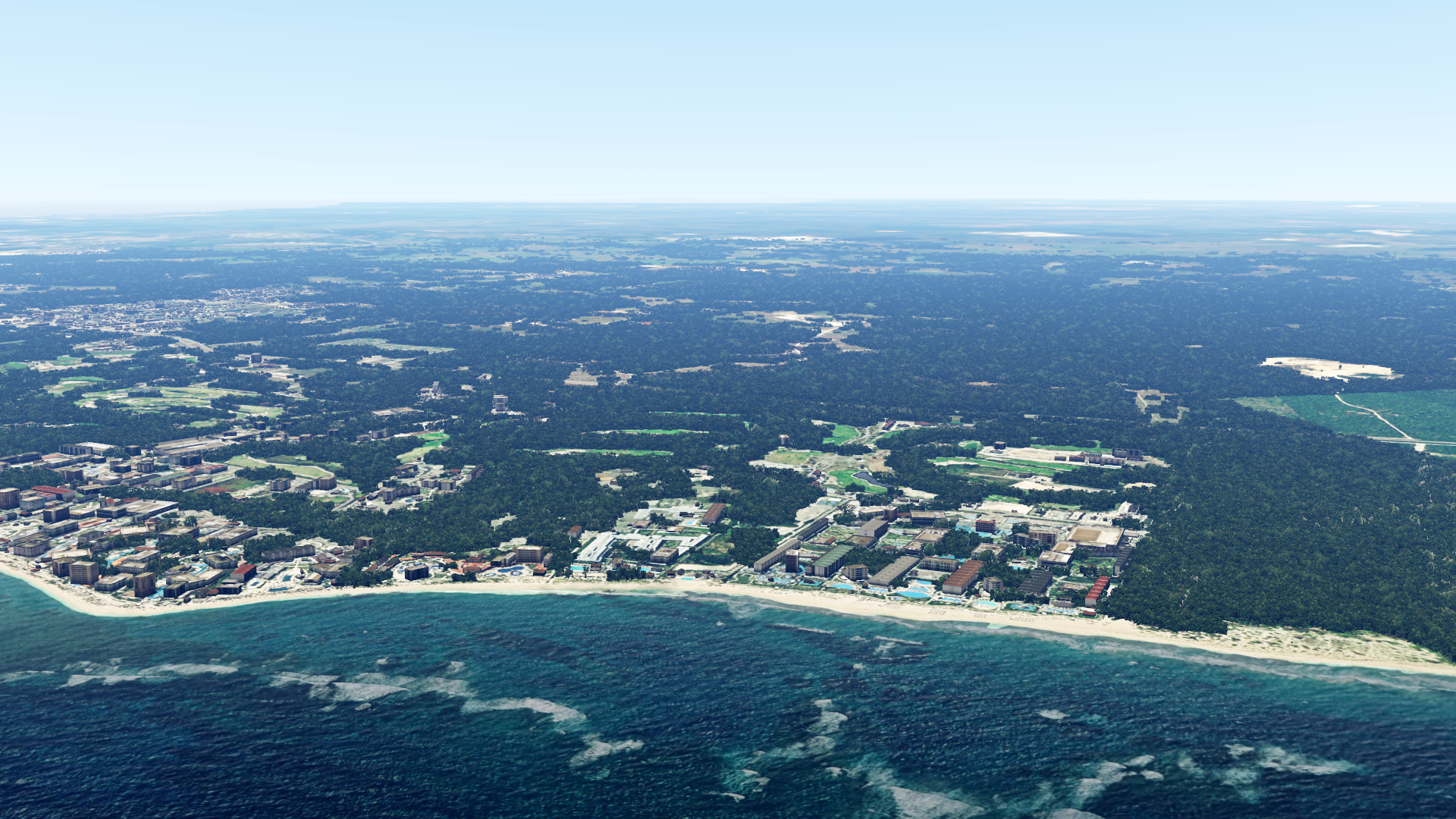
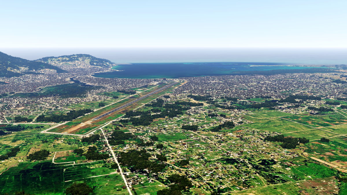
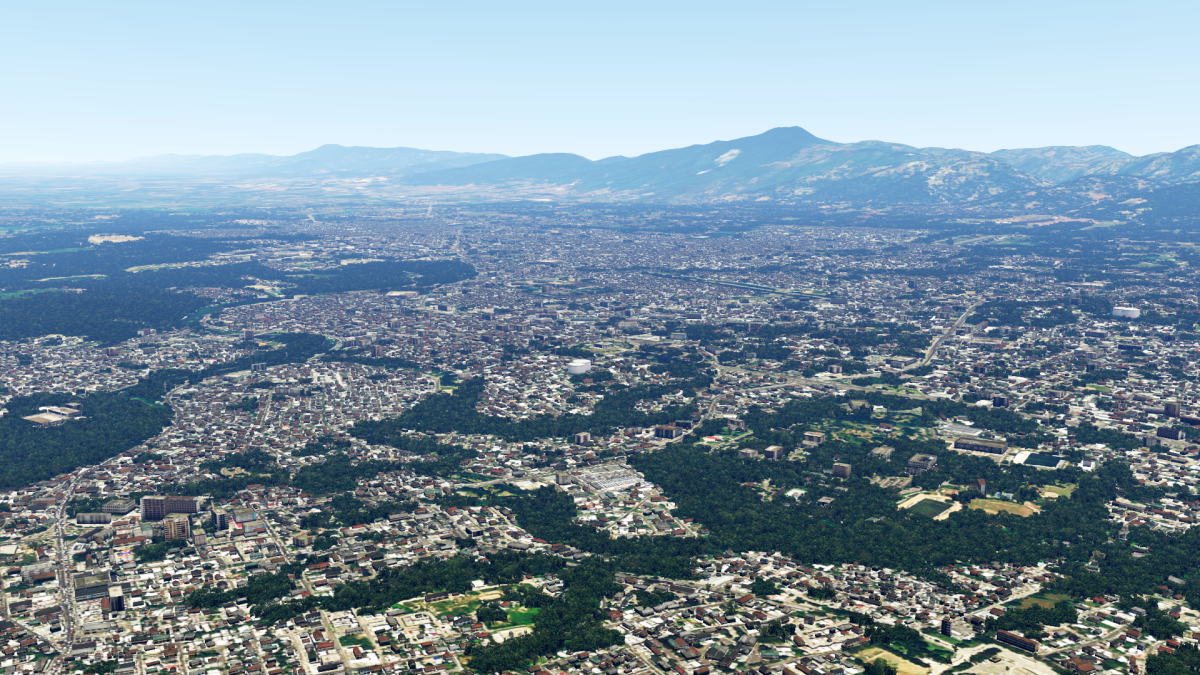
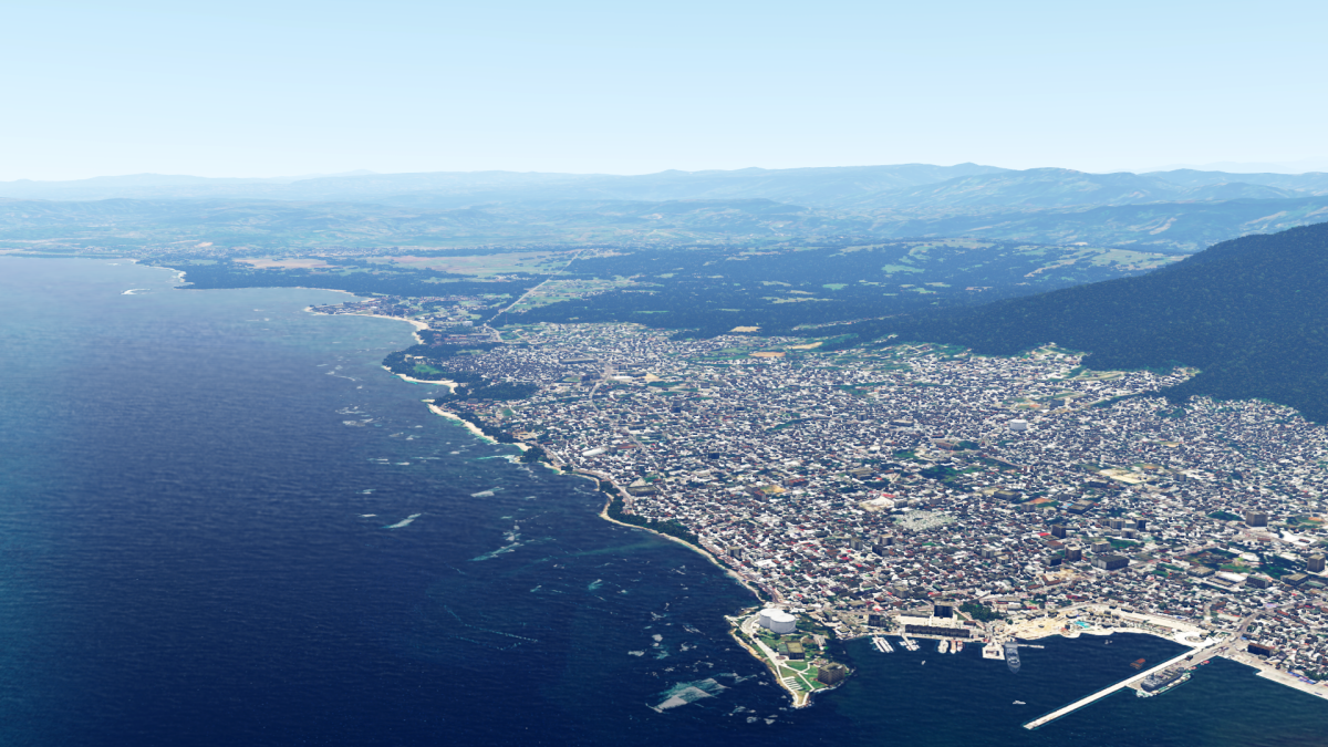
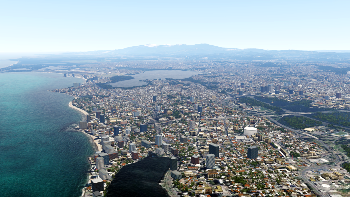
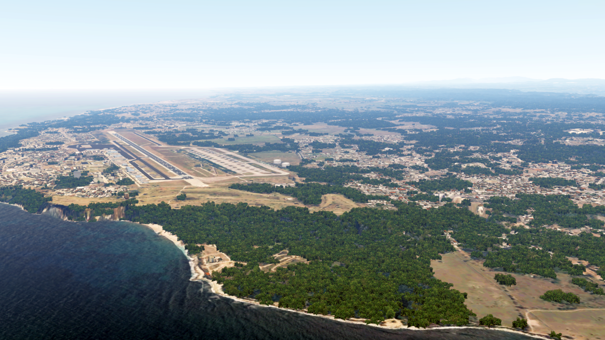
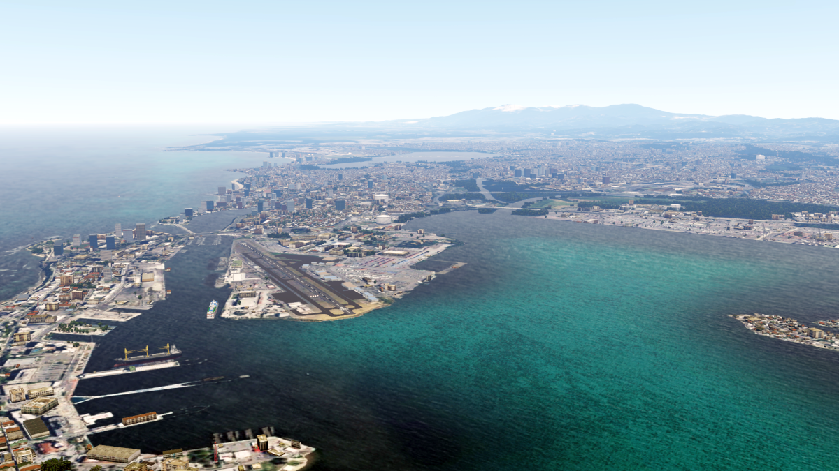
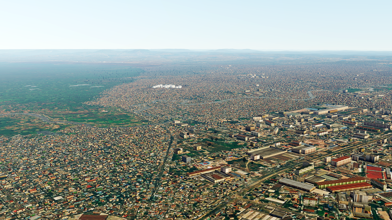
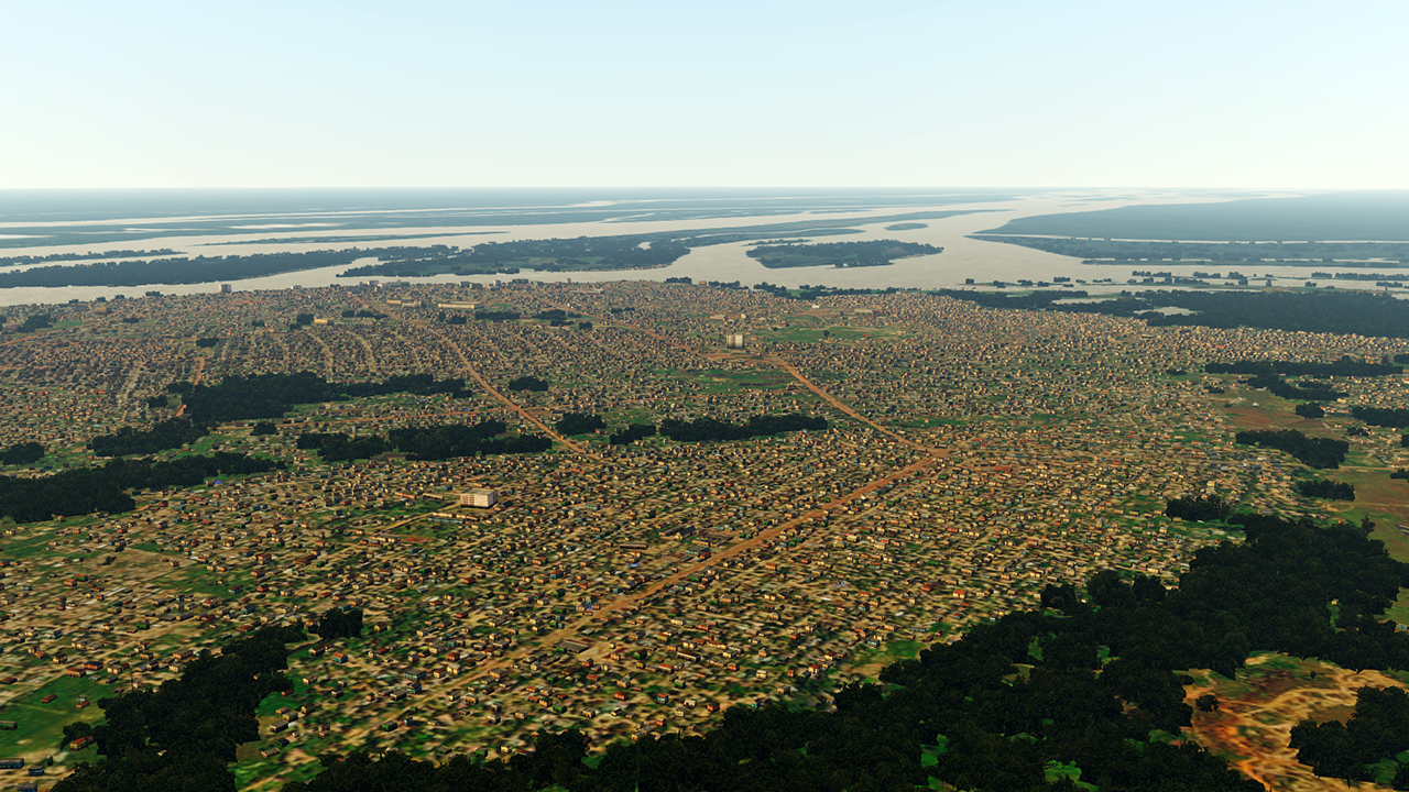
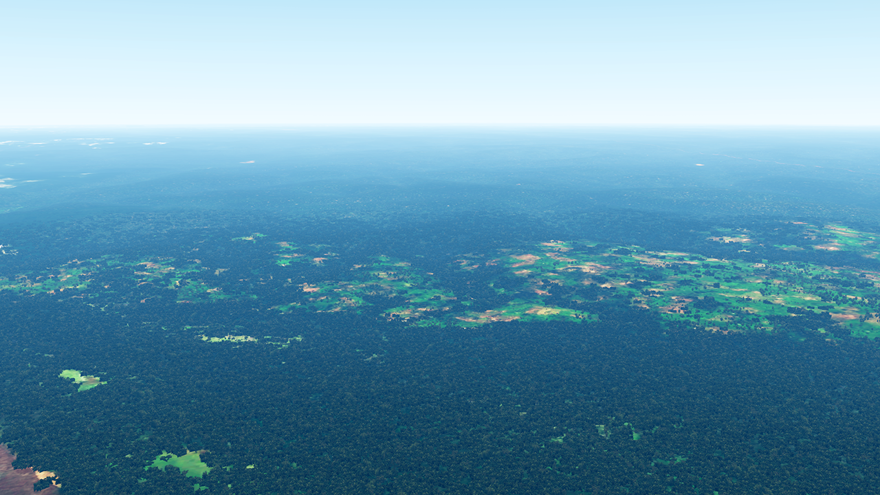
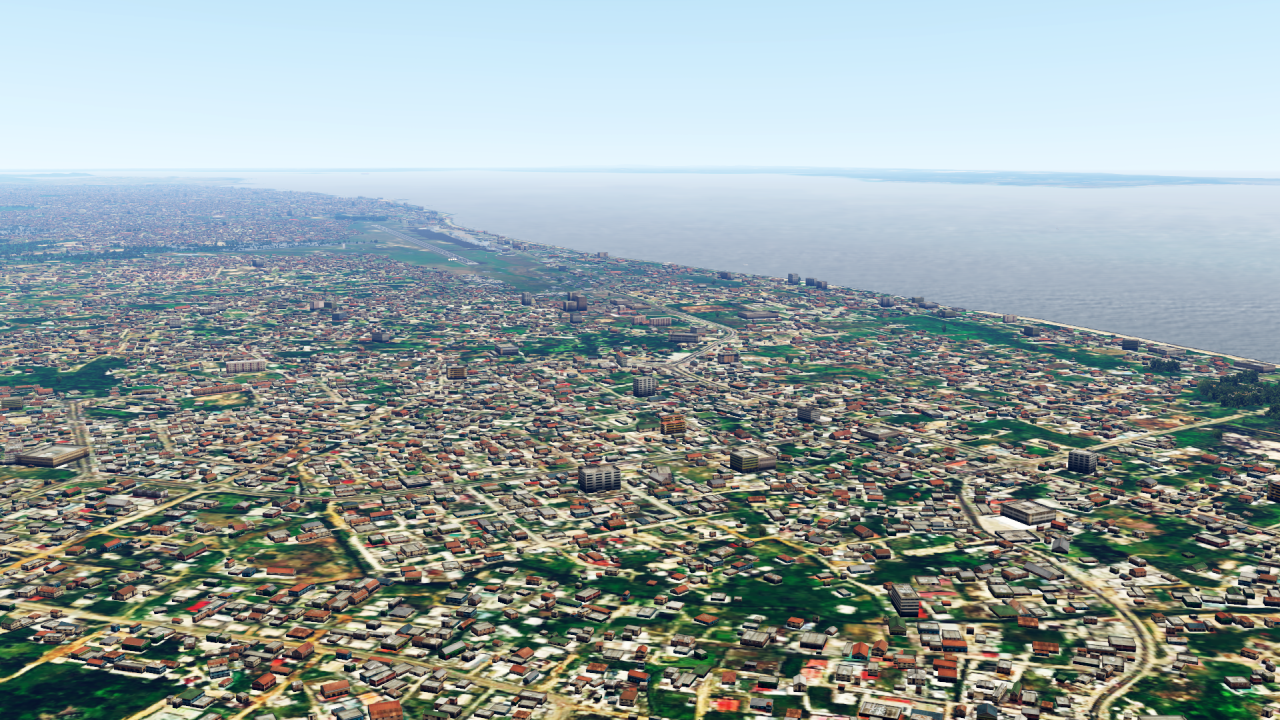
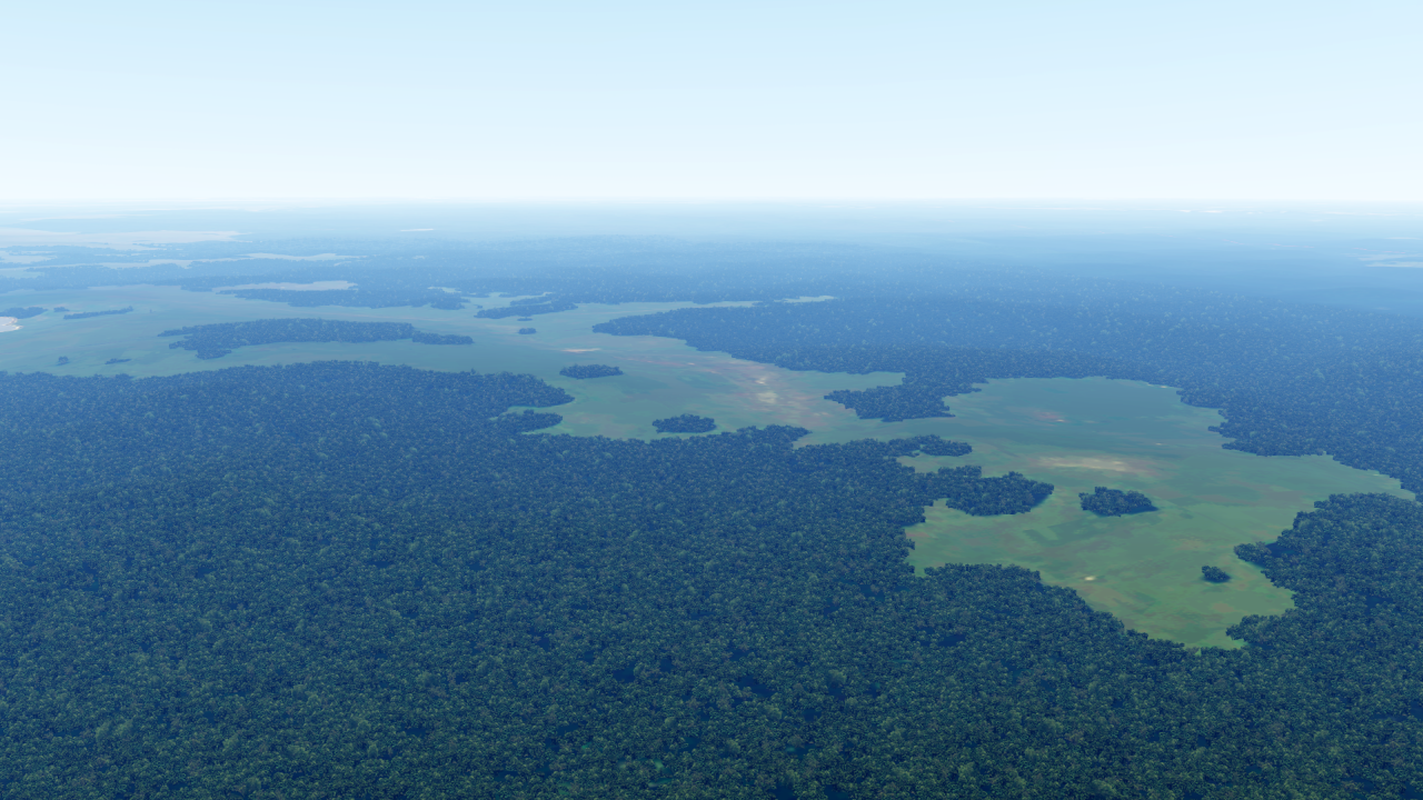
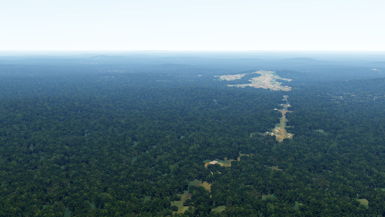
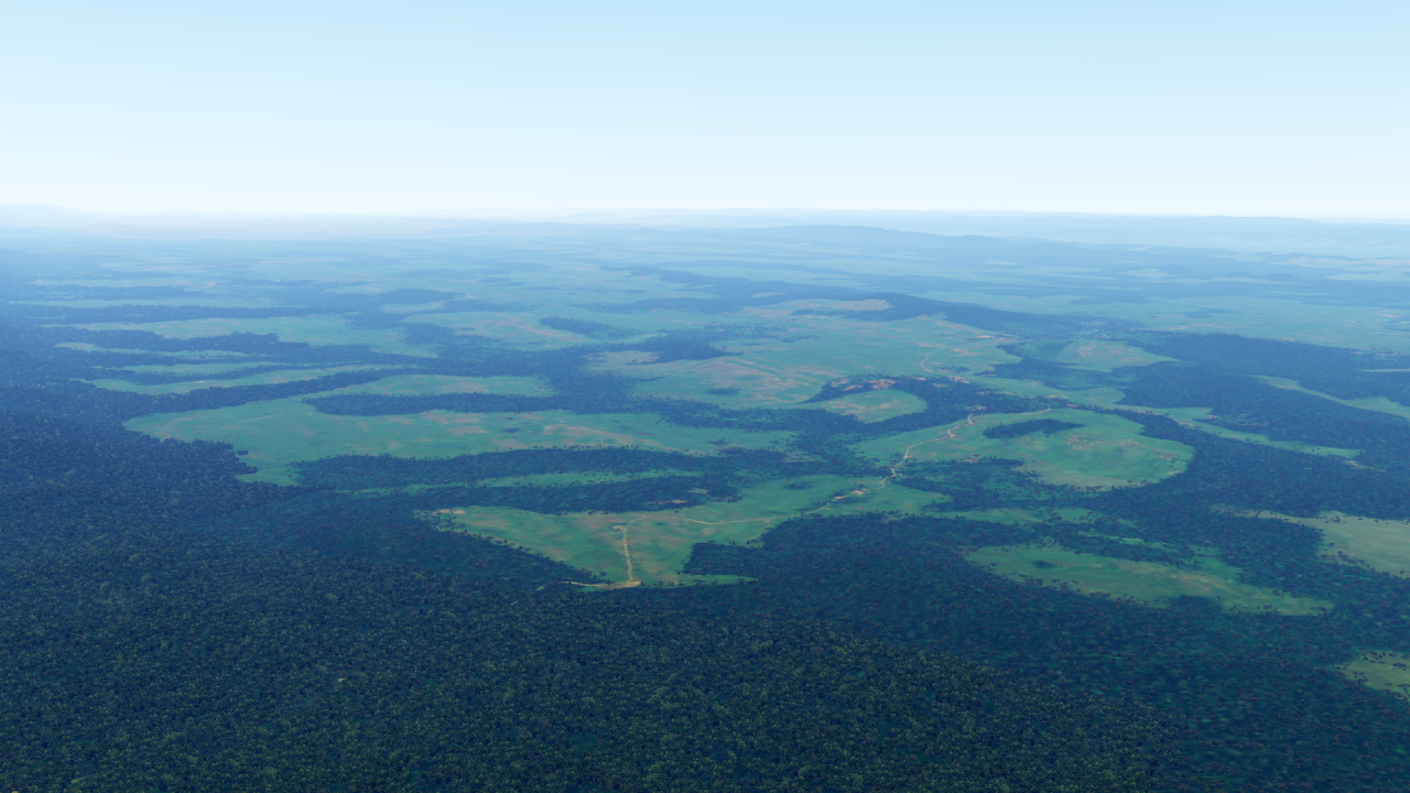
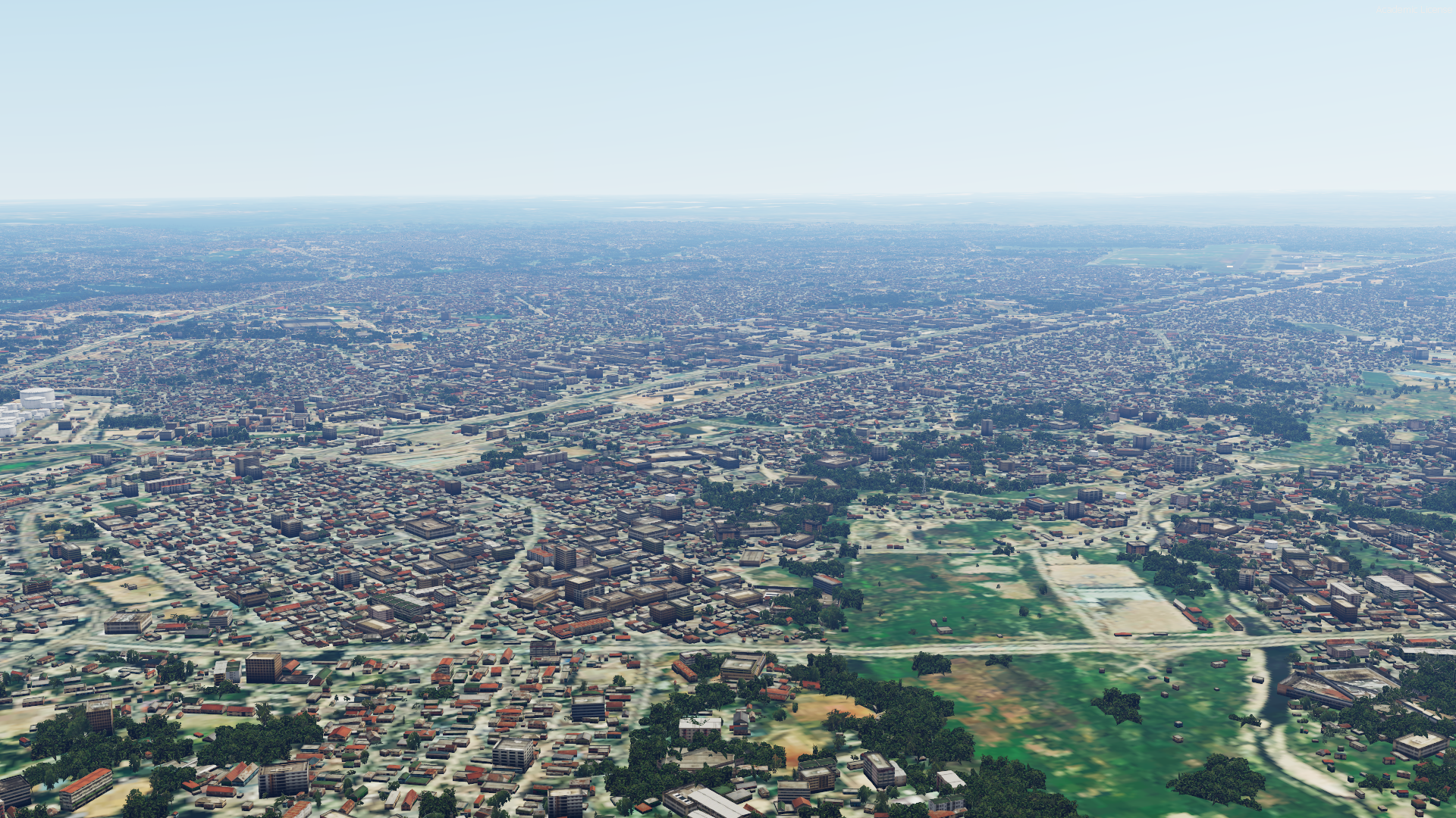
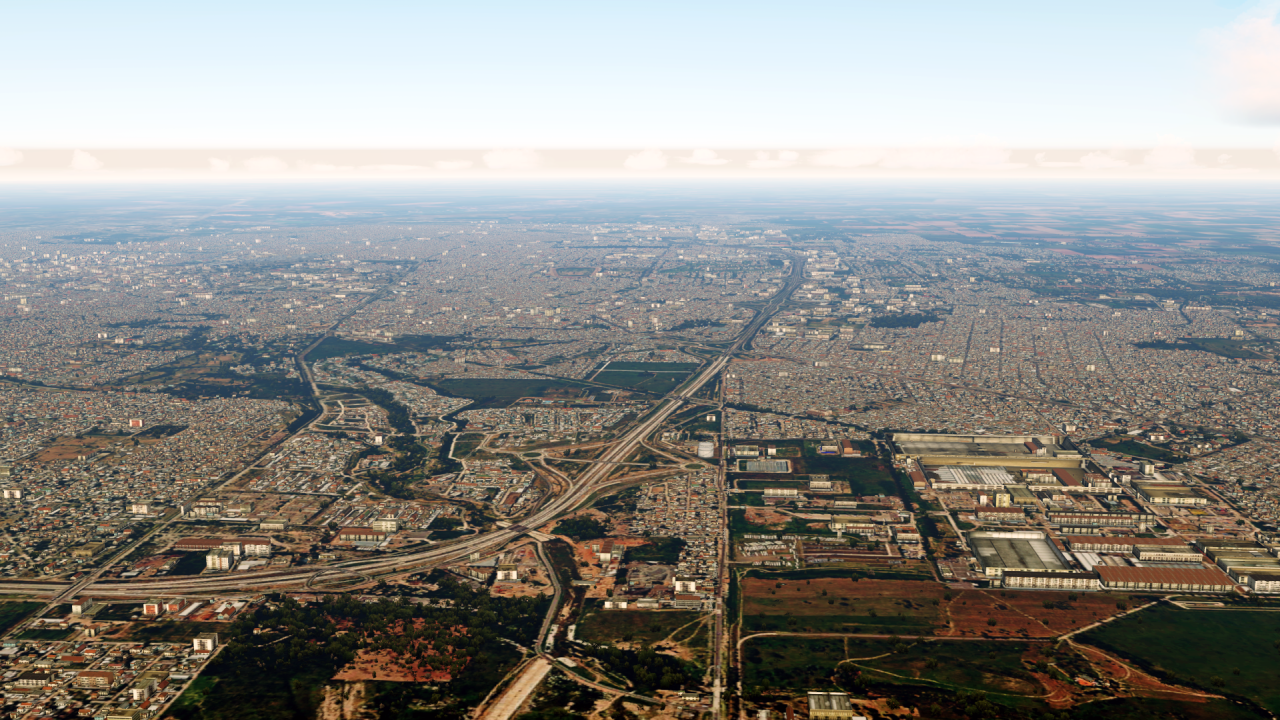
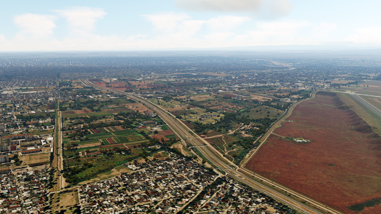
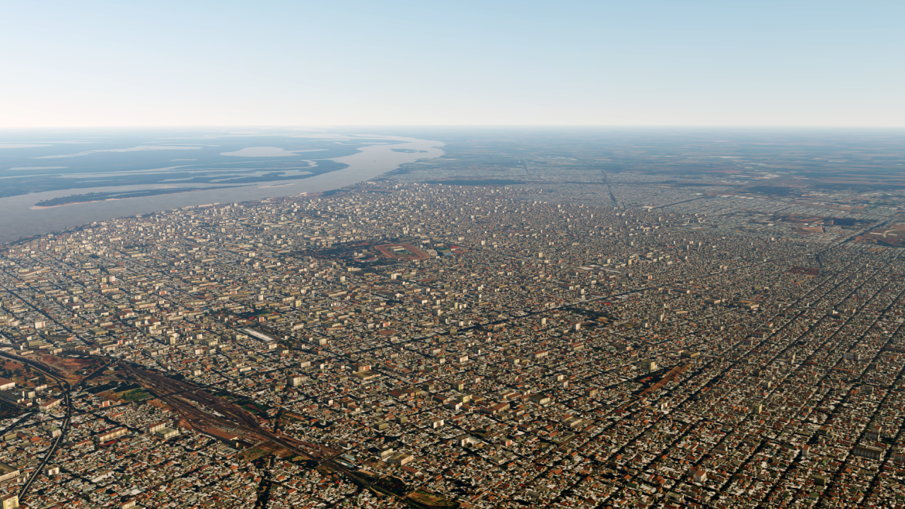
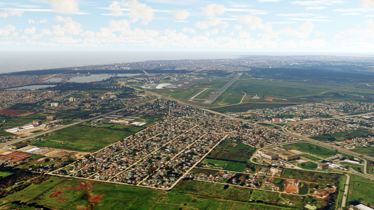
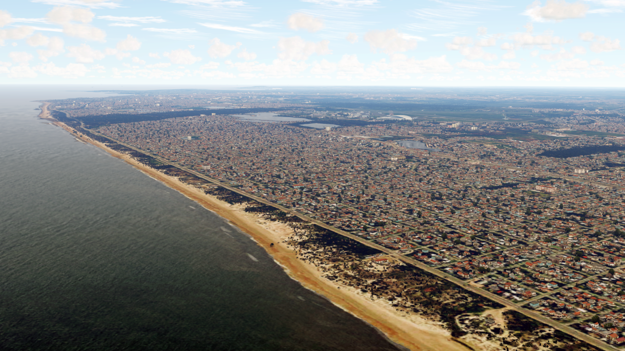
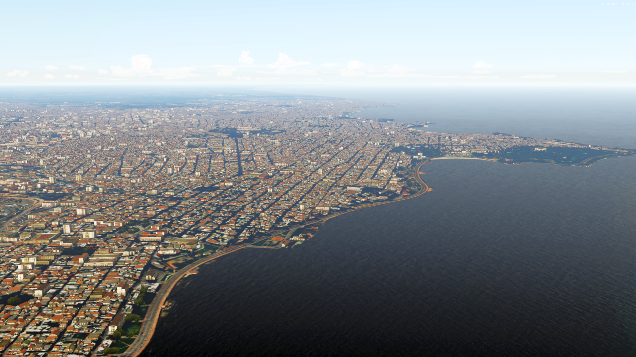
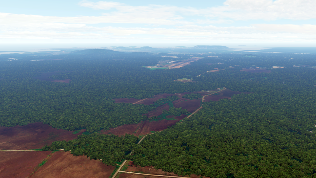
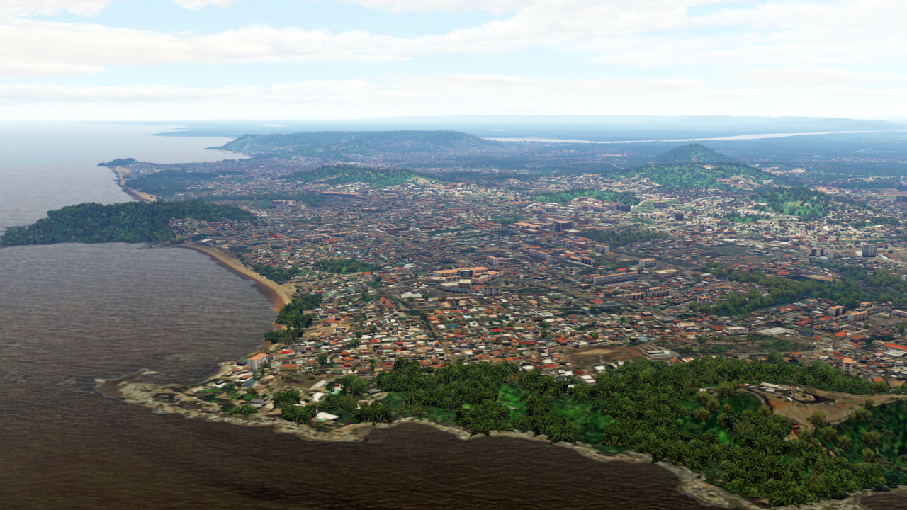
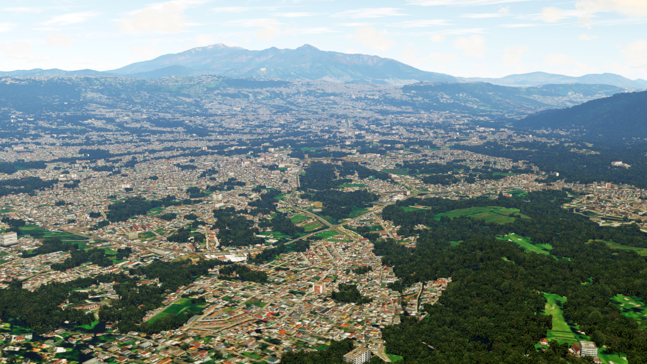
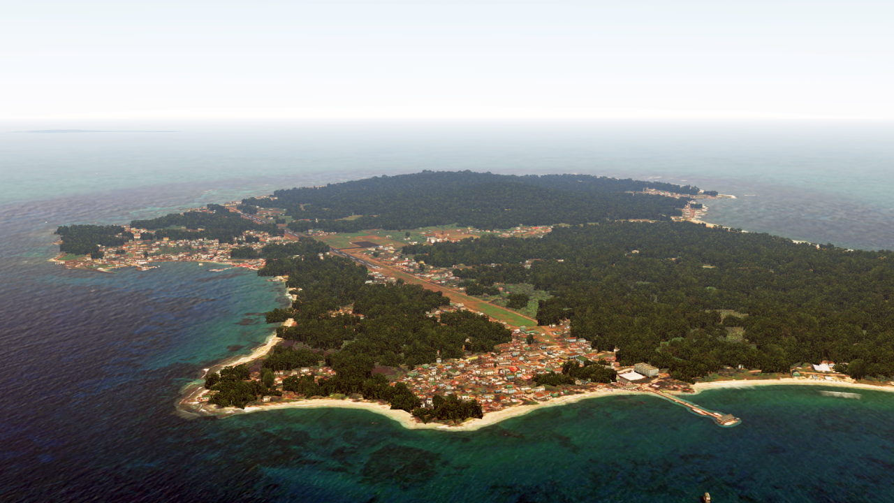
today a short preview, on one of the next countries:
Have a great weekend everyone!
Hello Matthias,
I have been following your work for a while... and it is just stunning and mindblowing. Creating photoreal scenery myself since years, the best autogen files I have ever encountered on the web were the ones by Roland at the France VFR forum, which requires the additional installation of the AGX tool. However, your autogen is by far the best IMO. Absolutely amazing.
For photoreal scenery I am using the new updated FSET, which is superfast and provides automatized and very accurate water masking. With the right parameters I can create great looking sceneries at very reasonable size in no time.
However, regarding autogen, I am not too familiar with it. I use Scenproc with a default script I found on the web, but that's basically it. I wonder if you would be able and willing to write a manual of how you are creating autogen files so that all of us can take advantage of your knowledge. Of course, it's easier to PM you and just ask for the files, but it might be more fun to do it yourself. On the other hand, I absolutely understand if you can not follow my request.
In any case, keep up the great work.
Rod
Thank you, Matthias, for the information. As I can see, there would be a steep learning curve involved to follow all the steps. So, I am not sure if I am able to go down this road, but, I will reflect on it. All the work you put into this obviously pays off since there is no other autogen provider known to me that just comes close to your creations. Another reason why I was asking you was that I would like to create some autogen for the US. I know Nuvecta offers autogen files as payware for the US, but from what I have seen as screenshots on the web, it doesn't come even close to what you created so far for EU, SA and Africa. Will you ever consider creating autogen for areas in the USA?First of all, thank you!
To be honest, it's not that simple that you could just put it in a PDF, unfortunately.
But I can explain *briefly* how I create the autogen:
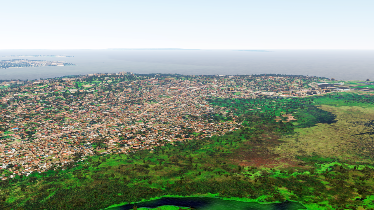
First I need data - here I mainly use OpenStreetMap, Sentinel-2 images as well as Landsat-8-OLI images. I process the latter two with ERDAS Imagine and then work with them in Python. Here I use an intrinsic random forest classifier, which I run in several iterations over the images - thus I get vegetation area. I process this further with ESRI ArcGIS Pro or the ArcPy-Python interface. After classification and attribution of the GUIDs, I just give it to ScenProc for conversion. Using another AI learning tool I detect (at least for Africa) buildings from high resolution images. These I also give back to ScenProc and that's it.
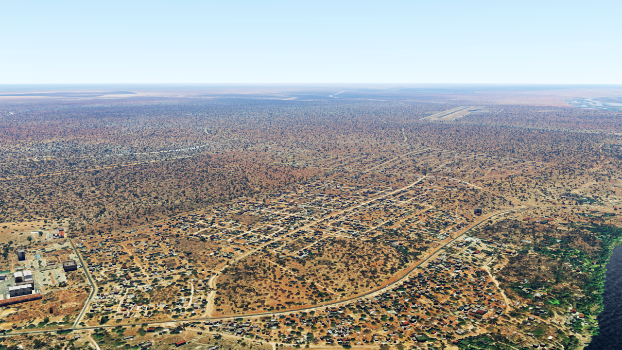
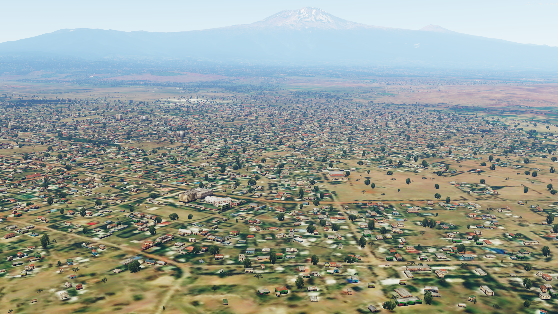
 MSFS failed me on that lmao

