-
Which the release of FS2020 we see an explosition of activity on the forun and of course we are very happy to see this. But having all questions about FS2020 in one forum becomes a bit messy. So therefore we would like to ask you all to use the following guidelines when posting your questions:
- Tag FS2020 specific questions with the MSFS2020 tag.
- Questions about making 3D assets can be posted in the 3D asset design forum. Either post them in the subforum of the modelling tool you use or in the general forum if they are general.
- Questions about aircraft design can be posted in the Aircraft design forum
- Questions about airport design can be posted in the FS2020 airport design forum. Once airport development tools have been updated for FS2020 you can post tool speciifc questions in the subforums of those tools as well of course.
- Questions about terrain design can be posted in the FS2020 terrain design forum.
- Questions about SimConnect can be posted in the SimConnect forum.
Any other question that is not specific to an aspect of development or tool can be posted in the General chat forum.
By following these guidelines we make sure that the forums remain easy to read for everybody and also that the right people can find your post to answer it.
You are using an out of date browser. It may not display this or other websites correctly.
You should upgrade or use an alternative browser.
You should upgrade or use an alternative browser.
P3D v5 Project Africa for P3Dv4/P3Dv5
- Thread starter MatthiasKNU
- Start date


Hi Matthias,
I think you've done amazing work and I actually tried installing Ortho4xp yesterday with the intention of using it for P3D v5 and gave up. The problem I had was when I got to the instructions of the three steps in command prompt for installing the pip update, etc It kept saying the module doesn't exist. It's been a long time since I have used commend prompt but I know I was doing it right. I will look to give it another crack if I can get past that part of the process. Do you have any idea of what maybe I am missing? The pip files were definitely where they should be and still made no sense why I was getting that error.
Thanks,
Sean
- Messages
- 1
- Country
-

Where can i find ANGOLA Photoscenery ?
best regards
best regards


- Messages
- 85
- Country
-

This looks great!
I take it the ArcGIS subscription you use provides better quality than the "ArcGIS Imagery" tile server in SBuilderX? For example, I make small photoreal backgrounds for my African airports using the ArcGIS tile server provided with SbuilderX, but they do not have the same quality as the imagery you have.
I take it the ArcGIS subscription you use provides better quality than the "ArcGIS Imagery" tile server in SBuilderX? For example, I make small photoreal backgrounds for my African airports using the ArcGIS tile server provided with SbuilderX, but they do not have the same quality as the imagery you have.
MatthiasKNU
Resource contributor
- Messages
- 960
- Country
-

Hello dear everyone!
I'm sorry I've been a little lazy lately, and I haven't written here much...
But I think it is time for a few pictures!
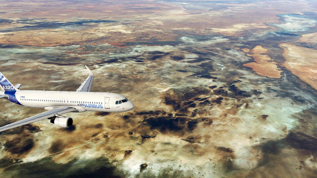
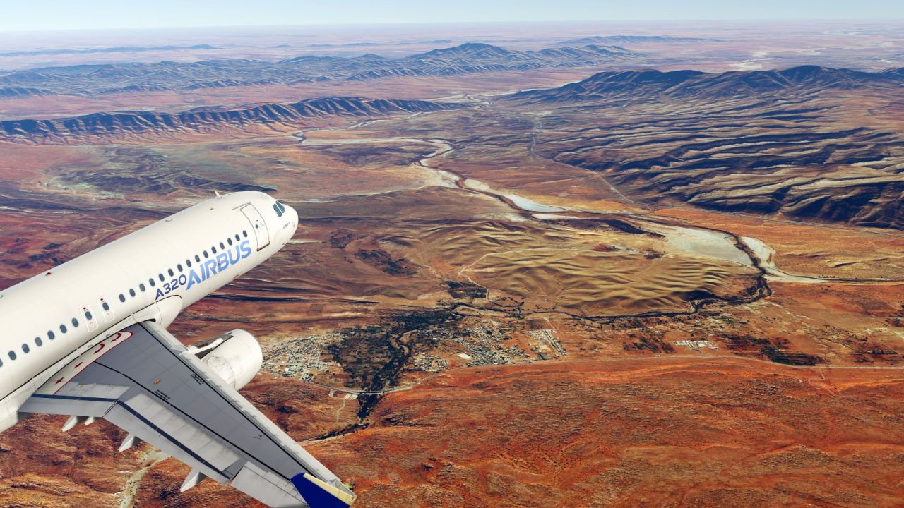
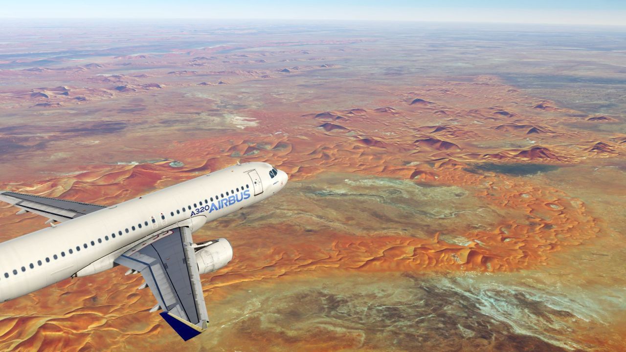
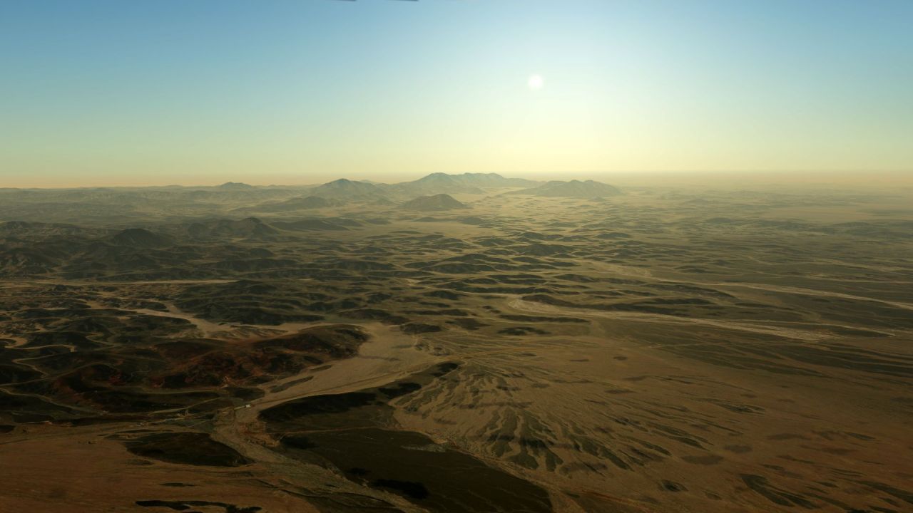
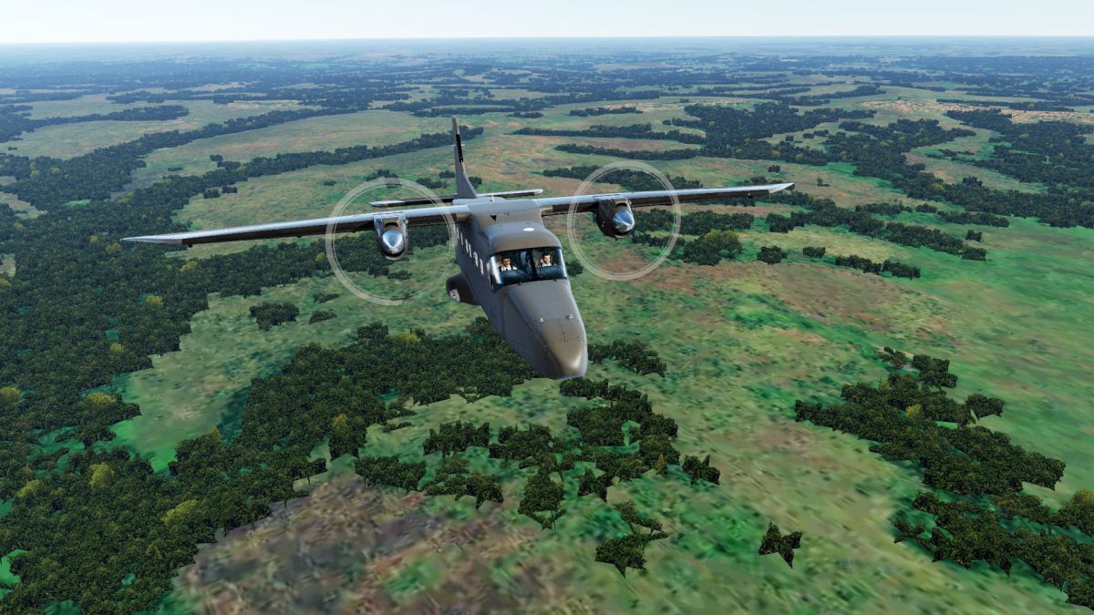
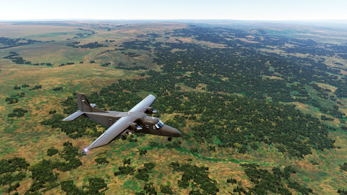
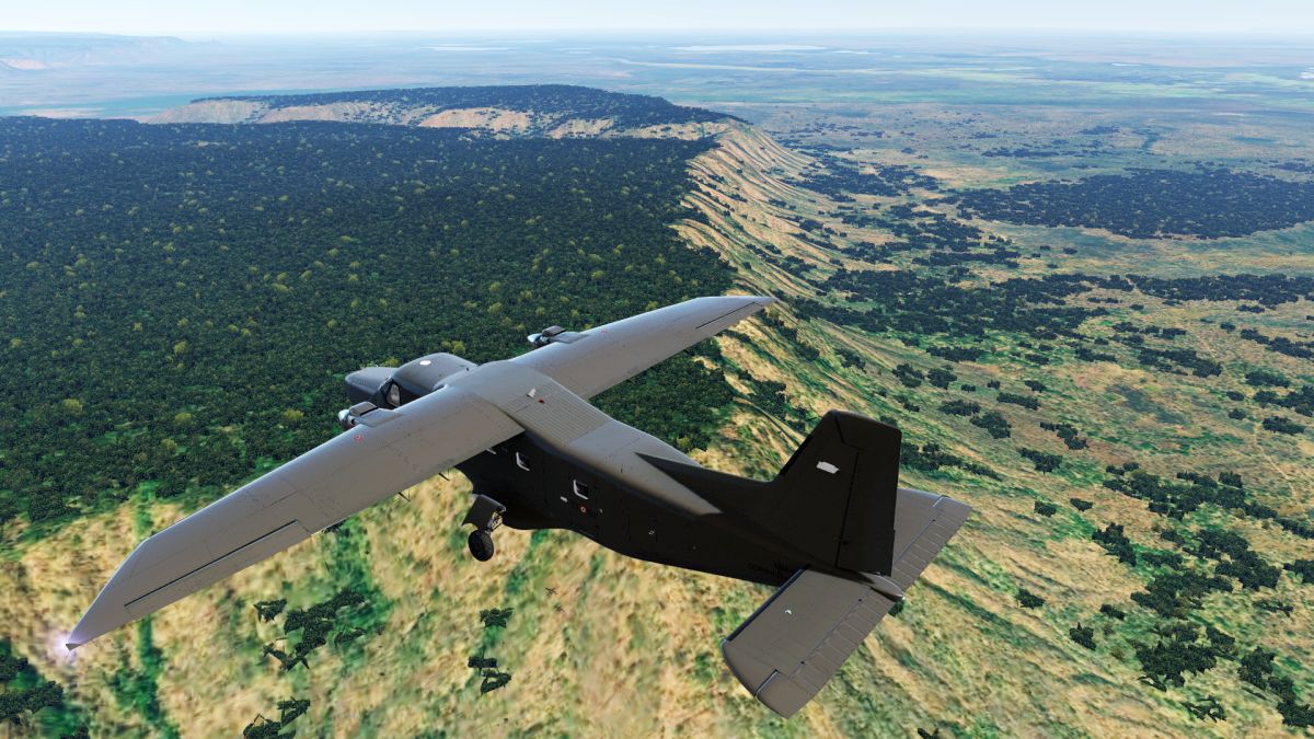
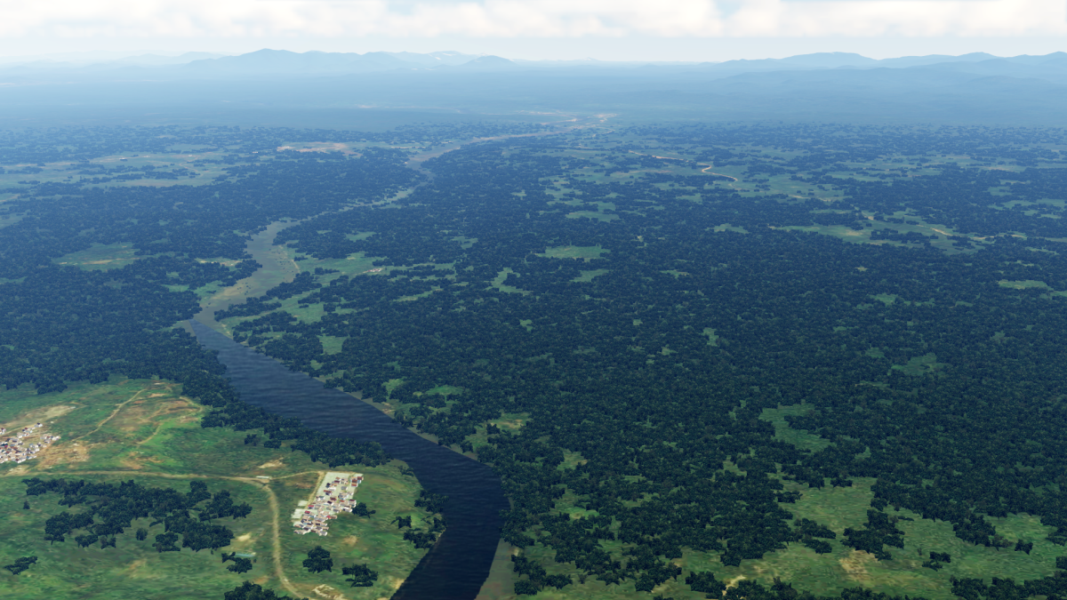
I am currently working on almost every corner of Africa to finally complete this project:
While I'm still working on the South Africa, and partly rebuilding the autogen, I still have some problems with Madagascar.
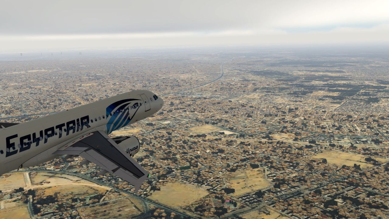
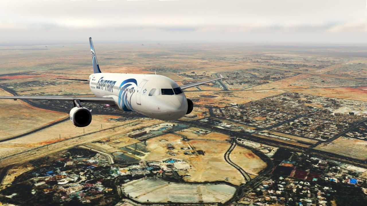
At the same time I am also working on an update on Egypt.
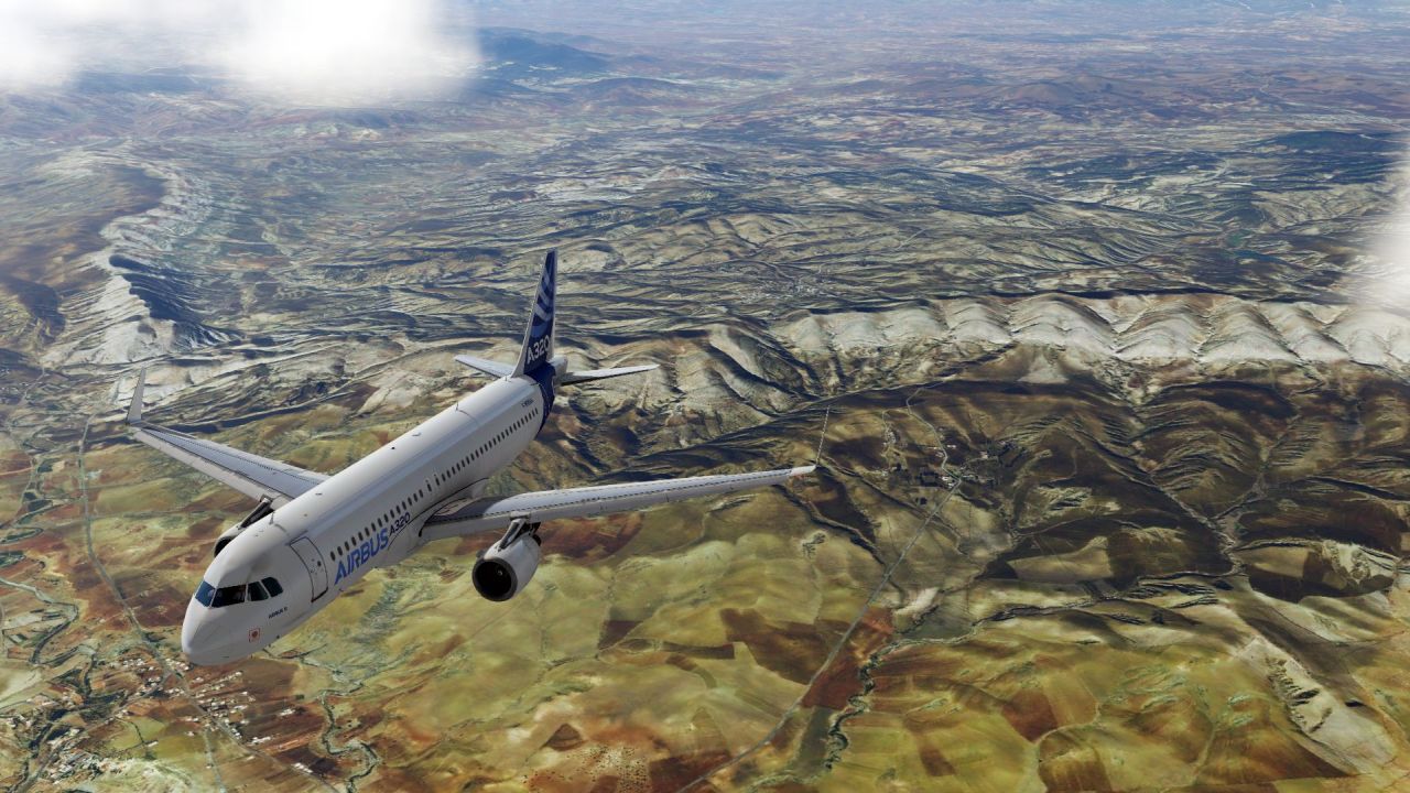
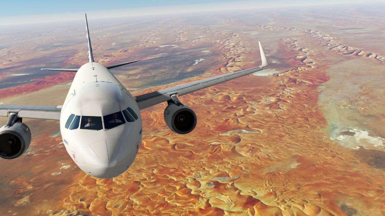
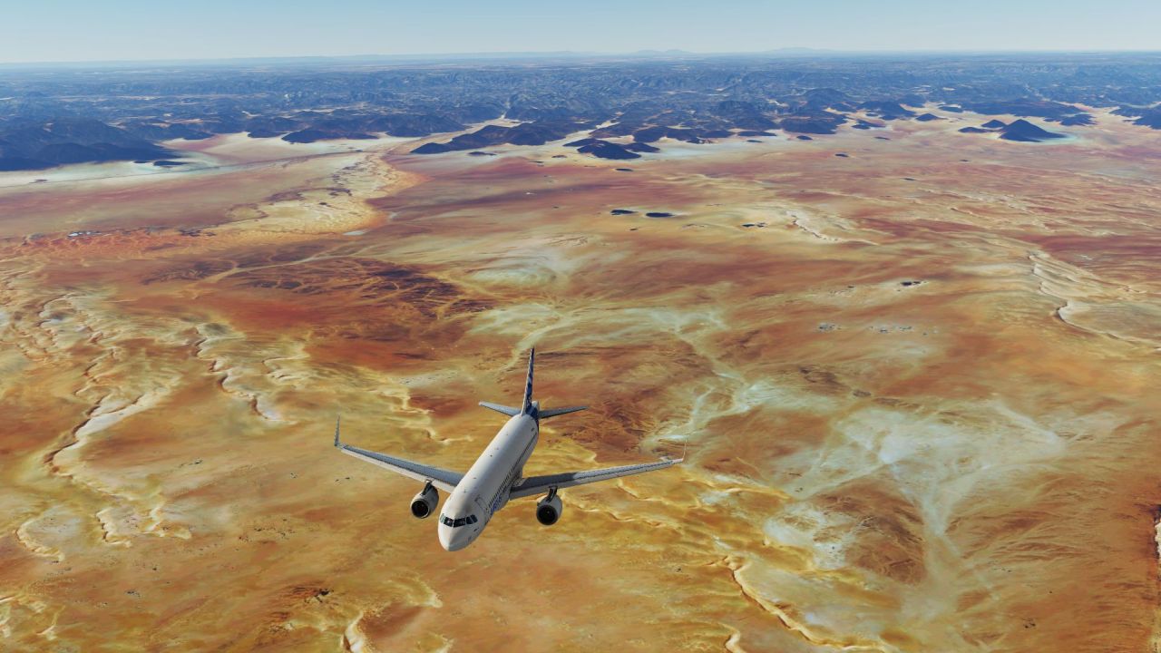
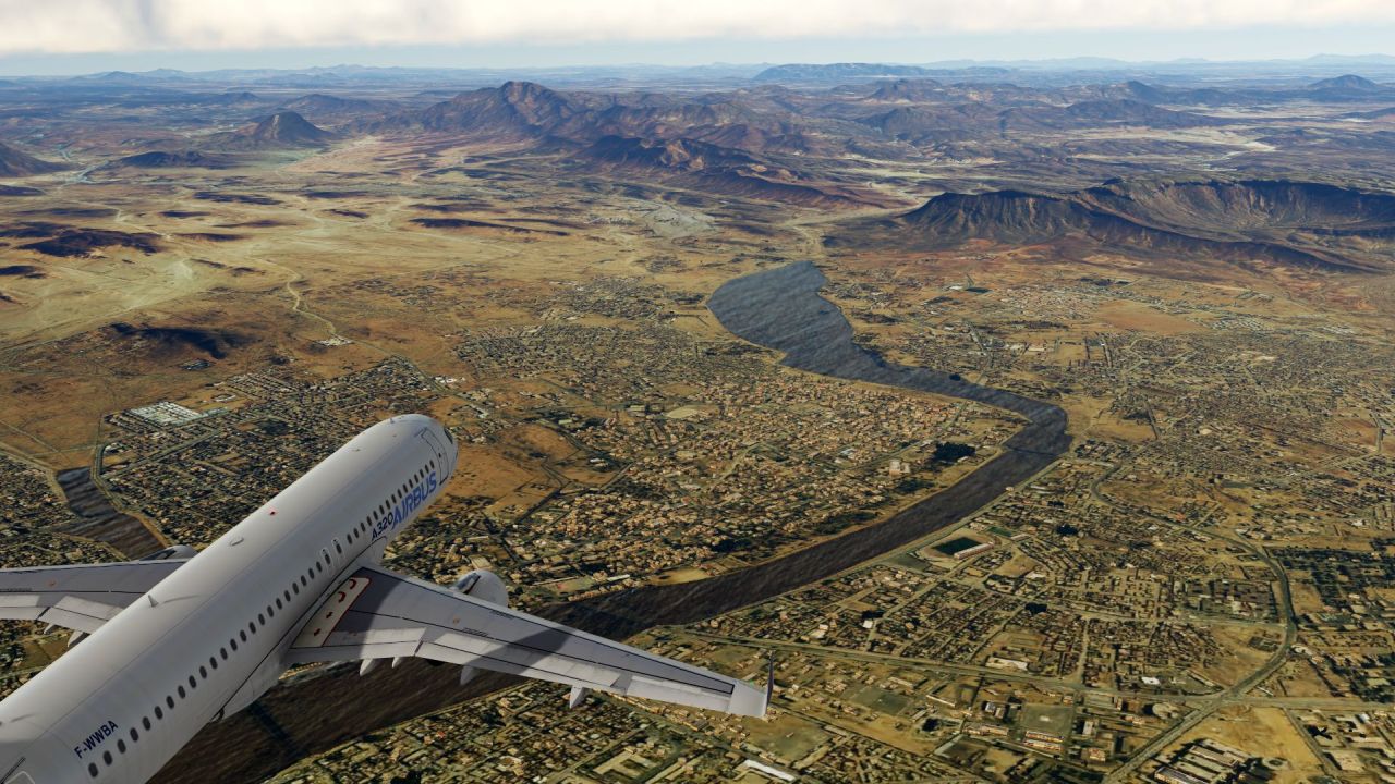
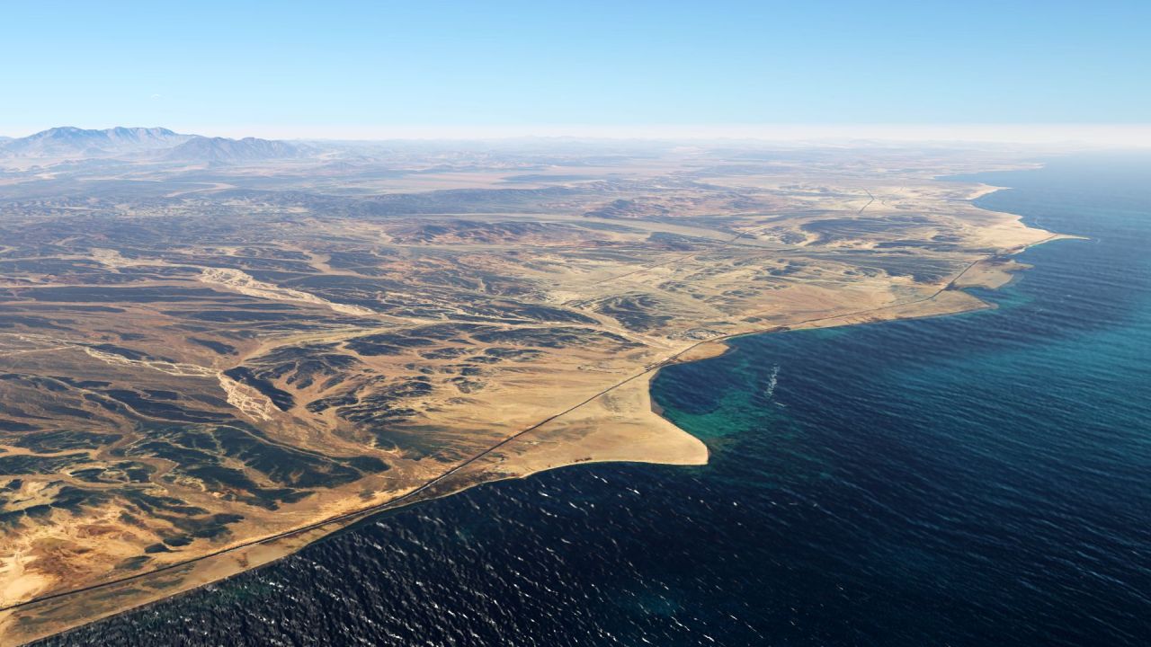
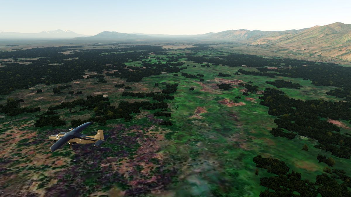
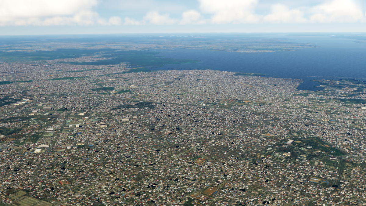
But Algeria is finally finished!
And this is how Algeria looks now:

I'm sorry I've been a little lazy lately, and I haven't written here much...
But I think it is time for a few pictures!
I am currently working on almost every corner of Africa to finally complete this project:
While I'm still working on the South Africa, and partly rebuilding the autogen, I still have some problems with Madagascar.
At the same time I am also working on an update on Egypt.
But Algeria is finally finished!
And this is how Algeria looks now:
Last edited:
MatthiasKNU
Resource contributor
- Messages
- 960
- Country
-
I am not selling this.
MatthiasKNU
Resource contributor
- Messages
- 960
- Country
-
I have created an update for Egypt, which fixes problems with the Suez Canal, brings new satellite images in places and removes unsightly transitions in the water!
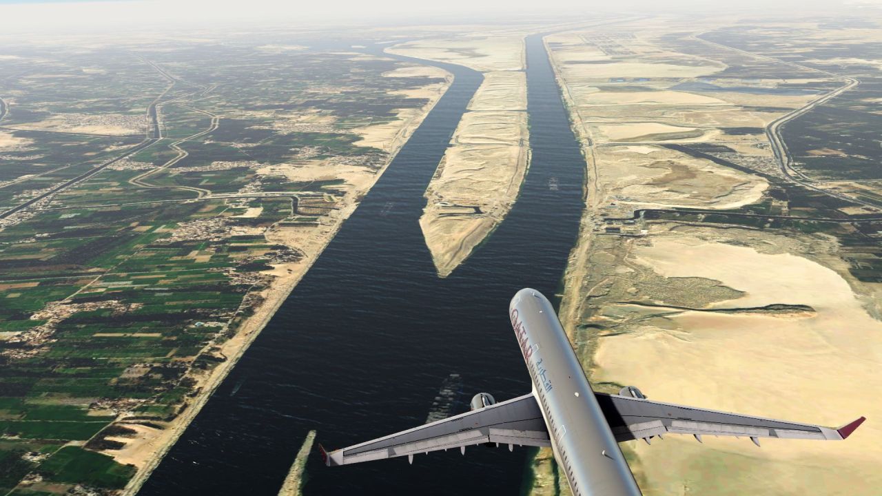

Is this available for download?I have created an update for Egypt, which fixes problems with the Suez Canal, brings new satellite images in places and removes unsightly transitions in the water!
MatthiasKNU
Resource contributor
- Messages
- 960
- Country
-
No, it is not publicly available.

Amazing work, BUT I think it's a bit unfair to upload all these screenshots when it's actually not meant for public release. I was personally very excited by your Denmark project, and was very disappointed when I learned that we never will get our hands on it.
But very nice work.
But very nice work.
MatthiasKNU
Resource contributor
- Messages
- 960
- Country
-
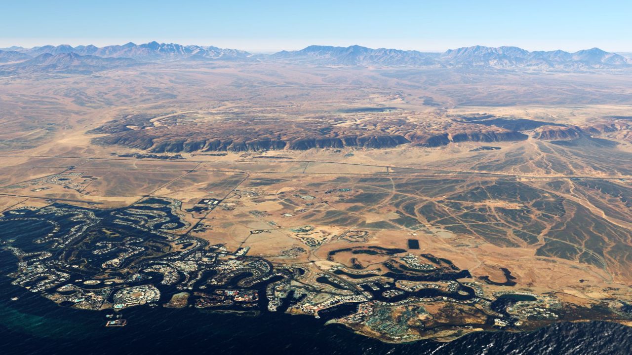
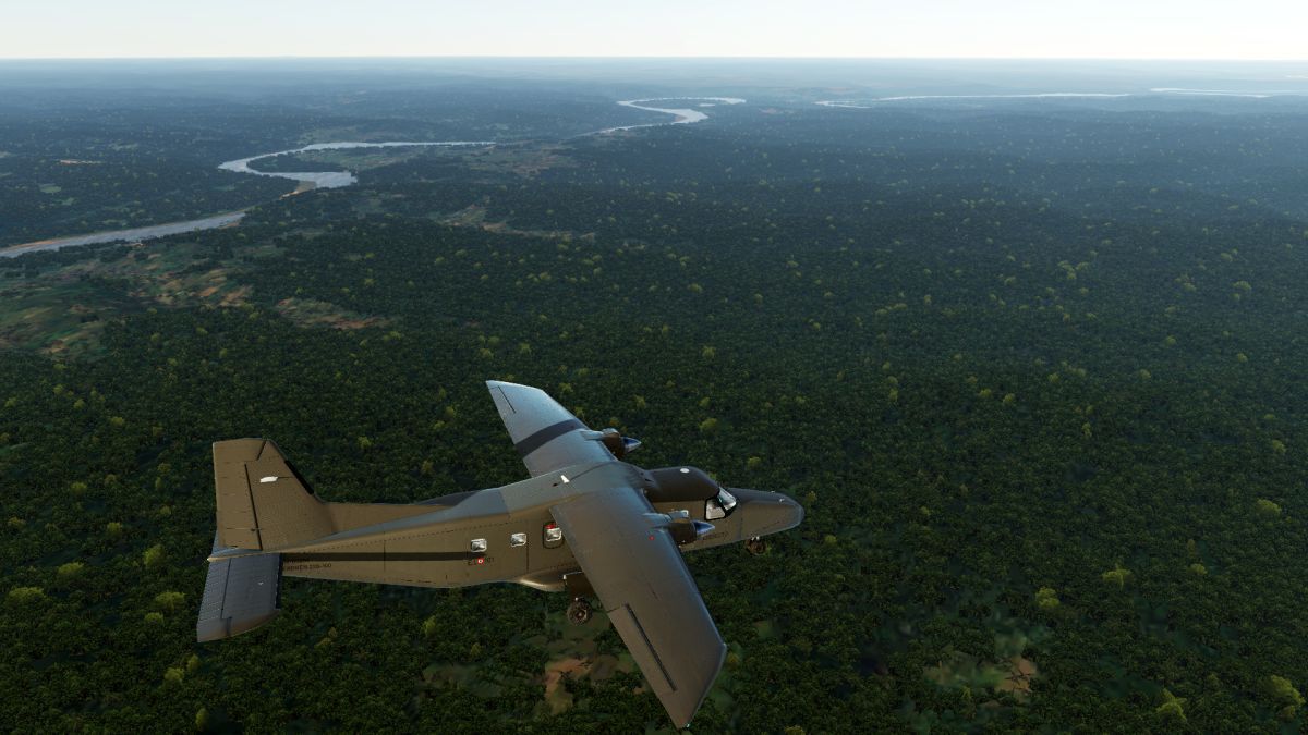
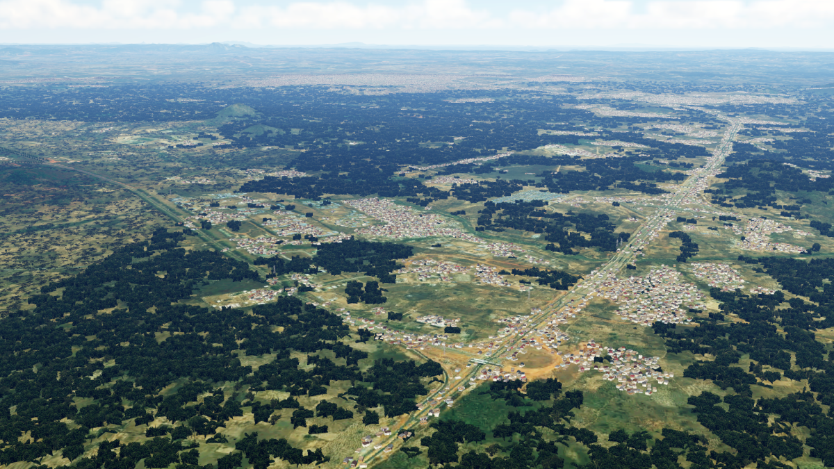
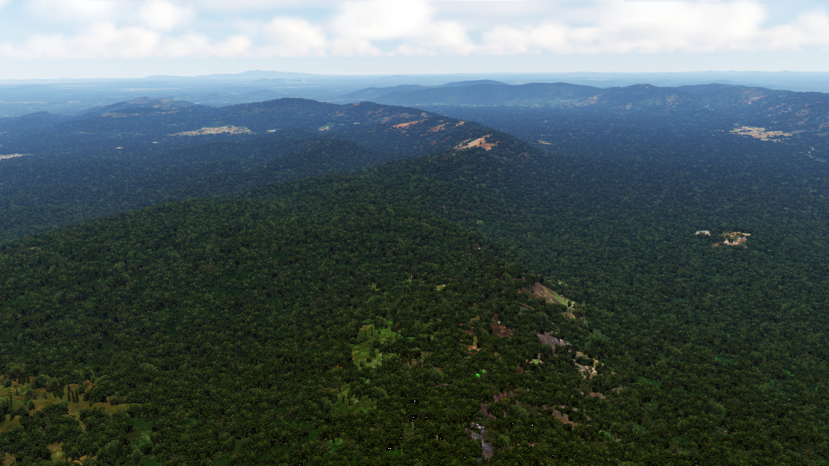
After a MONTH of work, I finally finished the DR Congo:

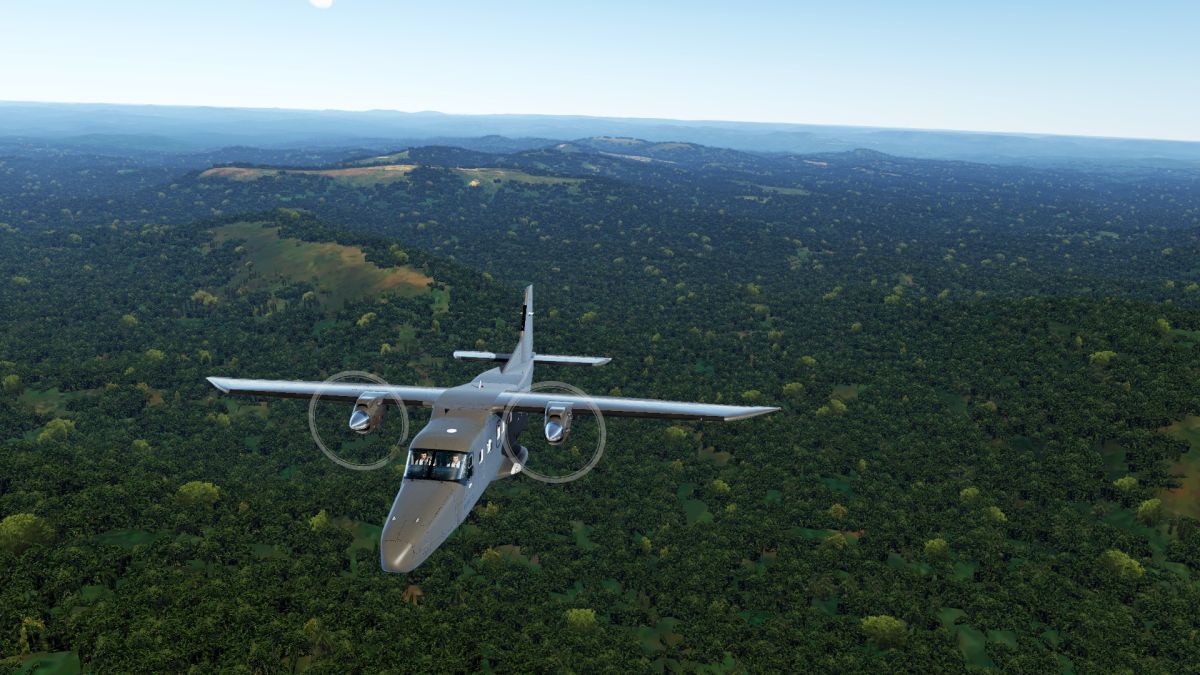
The autogen package is available from now on!
The autogen package is available from now on!
MatthiasKNU
Resource contributor
- Messages
- 960
- Country
-
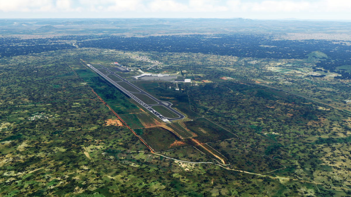
Hi everyone!
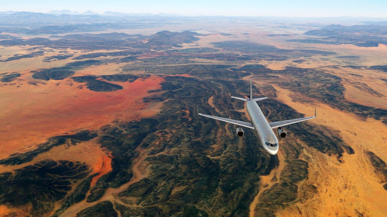
I have recreated the autogen for Nigeria, so it looks even better:
To download - as always - visit this:
The new autogen replaces the old one completely.
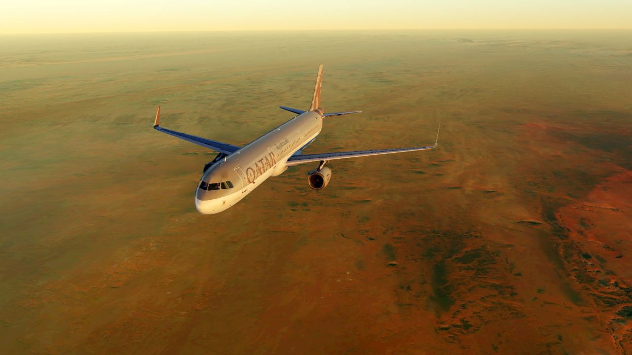
And now a few words to the new MSFS 2020:
I have been working a little bit with the SDK of MSFS 2020 lately.
My result so far is that the possibilities to create large areas with new autogen (if it still exists in MSFS) and with new photosceneries are very limited.
I would even go so far as to say that you get the feeling that Microsoft actually wants to prevent you from recreating such large areas.
For this reason it is not possible to transfer projects like my Project Africa to MSFS at this time.
The other question is whether it still needs it at all - the MSFS scenery is very good even in the remote regions - at least as good as my Project Africa for P3Dv4/v5, if not better.
I have recreated the autogen for Nigeria, so it looks even better:
To download - as always - visit this:
The new autogen replaces the old one completely.
And now a few words to the new MSFS 2020:
I have been working a little bit with the SDK of MSFS 2020 lately.
My result so far is that the possibilities to create large areas with new autogen (if it still exists in MSFS) and with new photosceneries are very limited.
I would even go so far as to say that you get the feeling that Microsoft actually wants to prevent you from recreating such large areas.
For this reason it is not possible to transfer projects like my Project Africa to MSFS at this time.
The other question is whether it still needs it at all - the MSFS scenery is very good even in the remote regions - at least as good as my Project Africa for P3Dv4/v5, if not better.
MatthiasKNU
Resource contributor
- Messages
- 960
- Country
-
Hi Matthias,
I do not understand the will (you and other) to want to bring Photoscenery images in MSFs2020 there is already everything at the origin and at the best resolution that we can obtain
Well, the scenery in the MSFS 2020 is great - no doubt.
What I personally don't really like is the Bing imagery. The colors often do not look right. Not only in Africa, also in Europe. The canaries look much to green, same with some southern parts of Africa, also in some parts of Bavaria.
They seem to have a turquoise touch.
And, as I said:
The other question is whether it still needs it at all - the MSFS scenery is very good even in the remote regions - at least as good as my Project Africa for P3Dv4/v5, if not better.
")
The images coming from the server should be updated when bing map updateWell, the scenery in the MSFS 2020 is great - no doubt.
What I personally don't really like is the Bing imagery. The colors often do not look right. Not only in Africa, also in Europe. The canaries look much to green, same with some southern parts of Africa, also in some parts of Bavaria.
They seem to have a turquoise touch.
And, as I said:
either by the way what bothers me the most are the reefs
MatthiasKNU
Resource contributor
- Messages
- 960
- Country
-
Yes, but since they always get the data from the same satellite system, and always go through the same corrections, the turquoise hue will probably not disappear.The images coming from the server should be updated when bing map update
either by the way what bothers me the most are the reefs
And yes, you are right, the reefs are also one big point.