T
Taylor
Guest
Hi all,
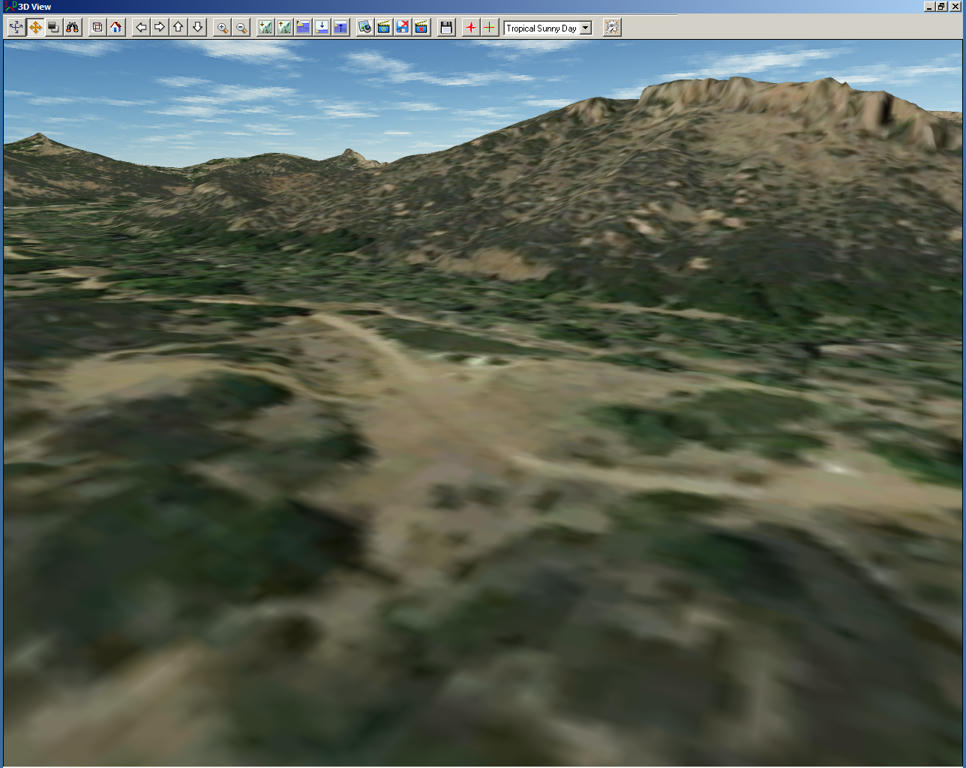
I've only been working with SBX for a few weeks now so I'm doing a lot of experimenting. Recently I noticed when I compile the sat image map the north part is further west than the bottom, it lays slightly diagonal on the terrain. I believe this is due to a variation in the xDim and yDim values in my .INF file. I'm pretty sure I can fix it by simply equalizing the two, but I don't know what I did to cause it to compile that way.
Anyone know why?
Thanks.

")

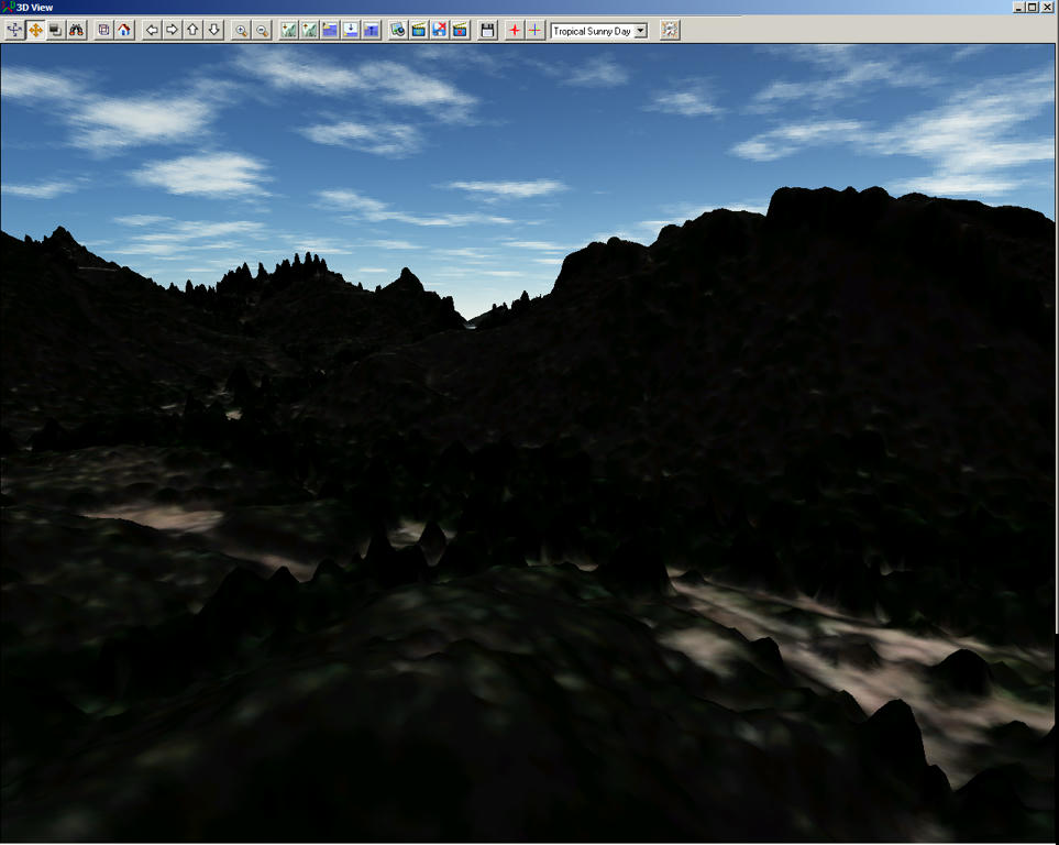
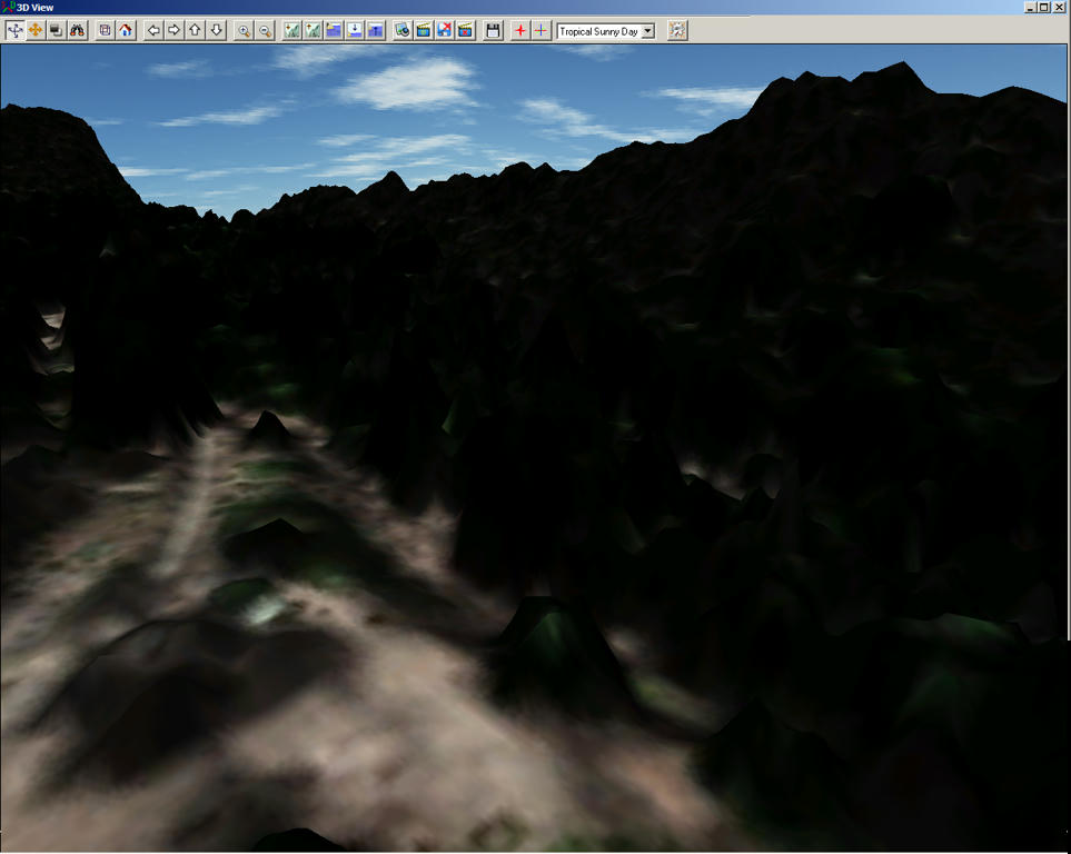
 LOL it resulted in a mesa looking formation rising up about 2500 MSL...pretty weird.
 I do know that the image used be straight along Lat/Lon lines. Now it is canted -28 degrees.
")