- Messages
- 558
- Country

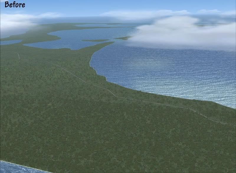
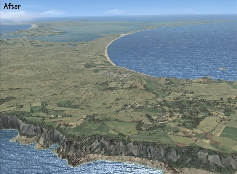
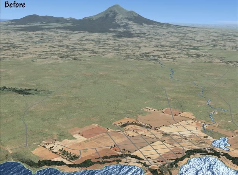
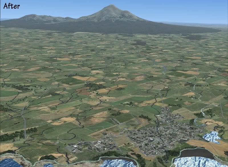
I've been working on this for well over a year now and things are starting to come together- This is a complete landclass, roads, population, season, waterclass, water and replacement for New Zealand.
The difference is the widespread use of vector landclass polygons to define landclass changes as the default raster method is too inaccurate. For example, I can define small blocks of plantation forest and within that, the different stages of growth (i.e. recently felled or established trees)
Have a look at my blog: http://flightsimtopo.freeblog.co.nz/
Thanks, of course, must go to anyone that has helped me out with questions on here.....Im sure there will be a few more asked in the future to!
Cheers
The difference is the widespread use of vector landclass polygons to define landclass changes as the default raster method is too inaccurate. For example, I can define small blocks of plantation forest and within that, the different stages of growth (i.e. recently felled or established trees)
Have a look at my blog: http://flightsimtopo.freeblog.co.nz/
Thanks, of course, must go to anyone that has helped me out with questions on here.....Im sure there will be a few more asked in the future to!
Cheers