MatthiasKNU
Resource contributor
- Messages
- 962
- Country

.
Last edited:
Any other question that is not specific to an aspect of development or tool can be posted in the General chat forum.
By following these guidelines we make sure that the forums remain easy to read for everybody and also that the right people can find your post to answer it.


")

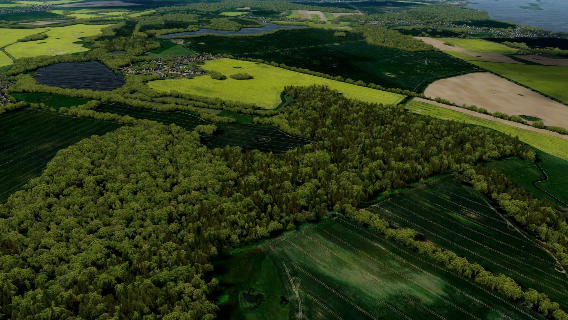
Those pictures are amazing!Oh, my talent is not so big, I just know how to use my GIS-software...
And as long as I don't have to create models, the result is usually also usable...
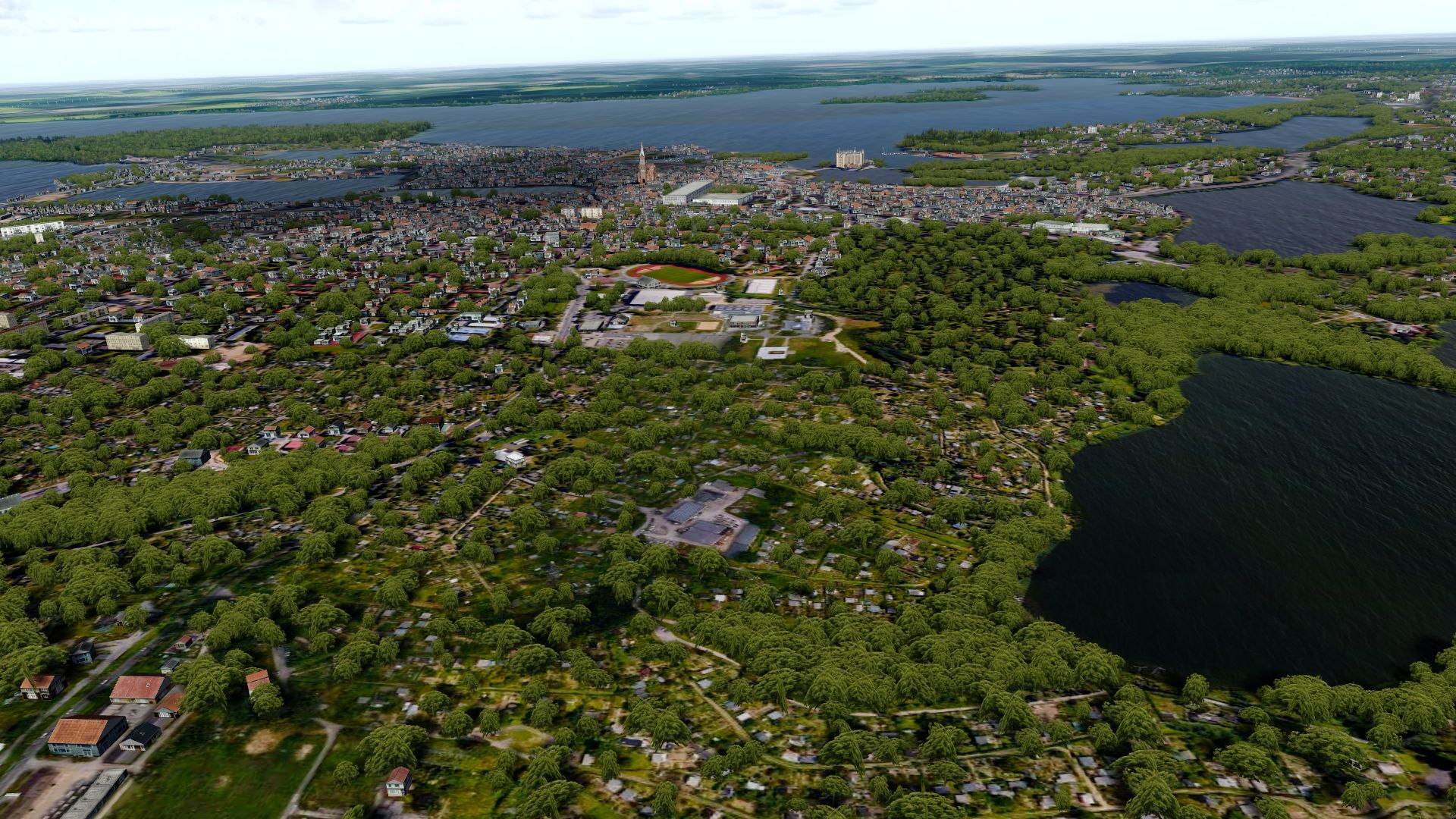
Picture number 9 looks VERY familiar. And I can just about spot the part of town that I used to live in.

Hm, Tutorial... Quite difficult, because for each area it is a slight different approach.Those pictures are amazing!
Could you write some tutorials how to do that for us?
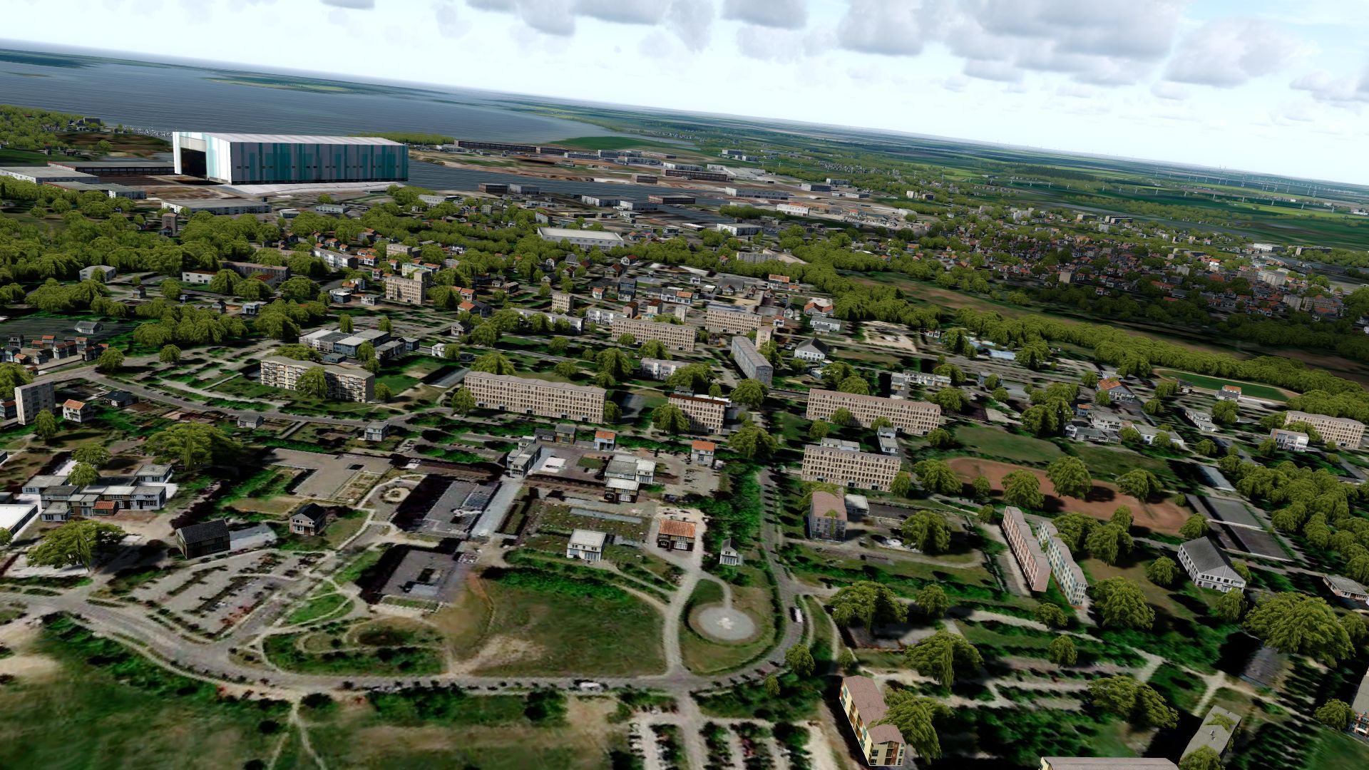
In Asia, it is hard to find the GIS data. There is no information to do autogen. So, is it possible to do by photoscenery alone?

That sounds great, I was not sure if the cities up there look like I think they have to look...

That sounds great, I was not sure if the cities up there look like I think they have to look...
Hm, Tutorial... Quite difficult, because for each area it is a slight different approach.
You're right, for Asia there is nearly no data available.
Beside the Germany-Project I am writing scripts to create autogen for Africa (which is like Asia very difficult). I am trying to detect the vegetation from the satellite images (what is very difficult because of the quite bad satellite images free available).
The bigger problem are the building footprints, I haven't found a solution yet. But I am working on it!
Well, you should definitely try to get a hold on some more landmarks. The city in question, for example misses all its (huge) churches.
If you crack the Africa thing it would simply be amazing as there is so little accurate scenery available for Africa. A month back flying from Amsterdam to Sao Paulo in real world the route passed more than a thousand kilometers more to the East than on normal flights and we flew over Sahara all the way down to Dakar... it sparked curiosity to see the same at lower altitude...


")


